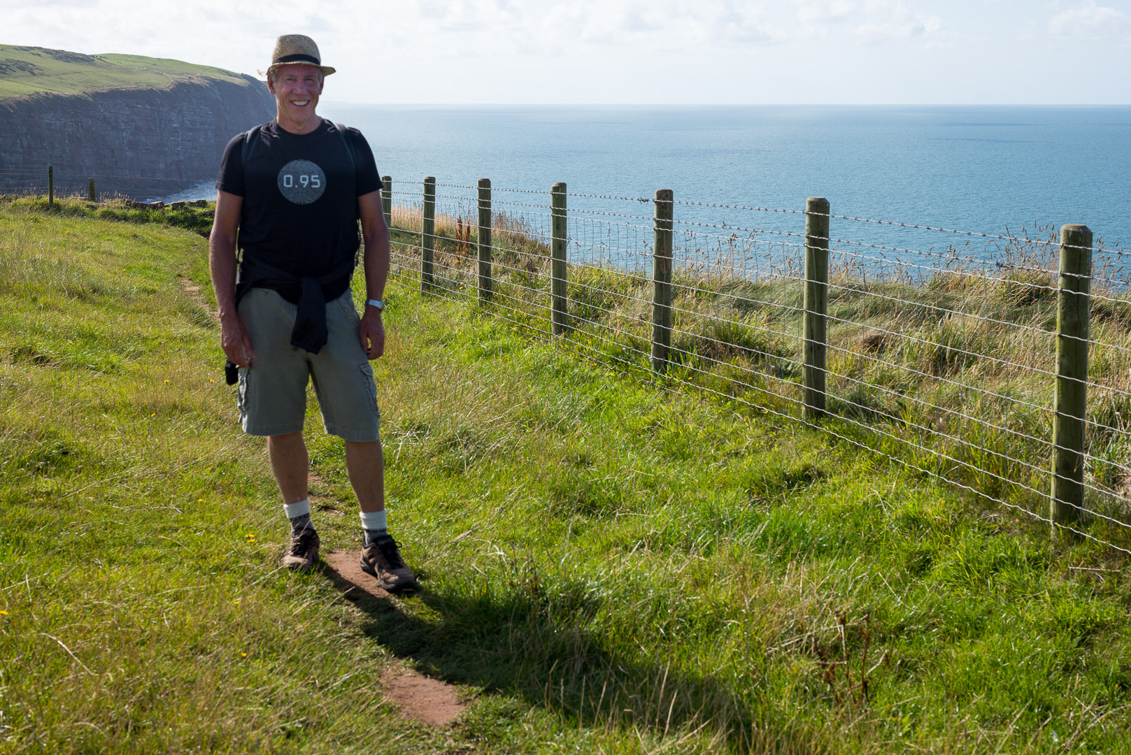
Walk across England in two weeks, are you crazy!? Must be, but here I am, doing the Coast to Coast walk across northern England; from St Bees on the Irish Sea, through the Lake District, Yorkshire Dales and North York Moors, to Robin Hood’s Bay on the North Sea (and yes, I have my stone from St Bees to drop in the North Sea!). And of course, its summer right, so glorious warm summer days, a few occasional summer showers, languorous summer evenings to enjoy the fruits of a long walking day. Hmmm… not quite!
First things first, just so there is no misrepresentation, I have not walked “all the way”!, but a damn good part of it to be sure.
The walk is planned out by a fellow called Wainwright; he is much admired, mapping out this extraordinary walk, the stages you do, some different route options, etc. I had decided to follow his basic plan, though with one modification, as I wanted to spend the day in Richmond and the walk to the next stop is long, relatively uneventful (and it seemed to me, easily skipped), so, I’d make my way via vehicle(!) (a bus probably) between Richmond and Ingleby Cross and continue the next day.
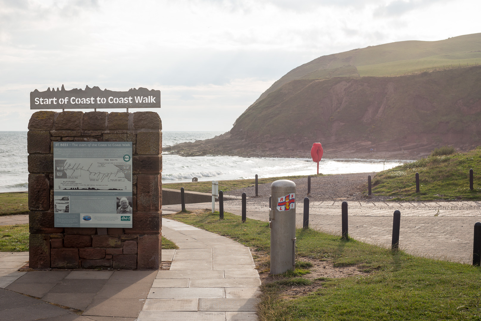
Day 1 – St Bees to Ennerdale Bridge
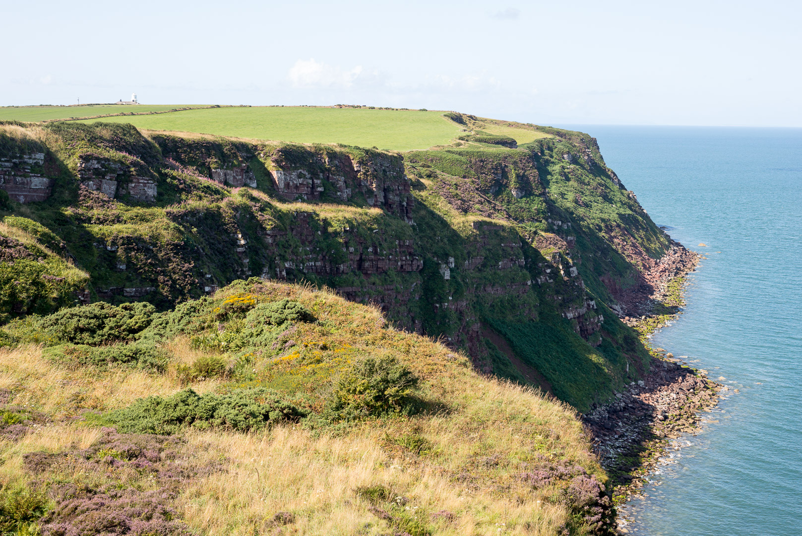
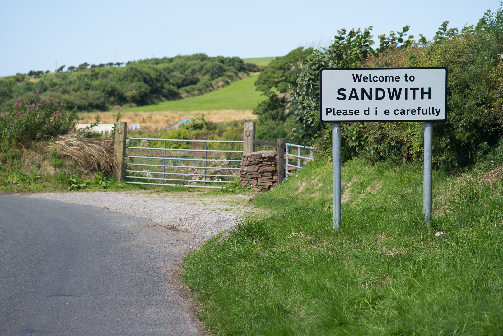
First, you begin in St Bees, and the morning is sunny, a brisk wind, but really quite pleasant, just what I’d imagined (more or less). There was some talk about a hurricane from that Atlantic coming through England on the news, but didn’t pay it much attention.
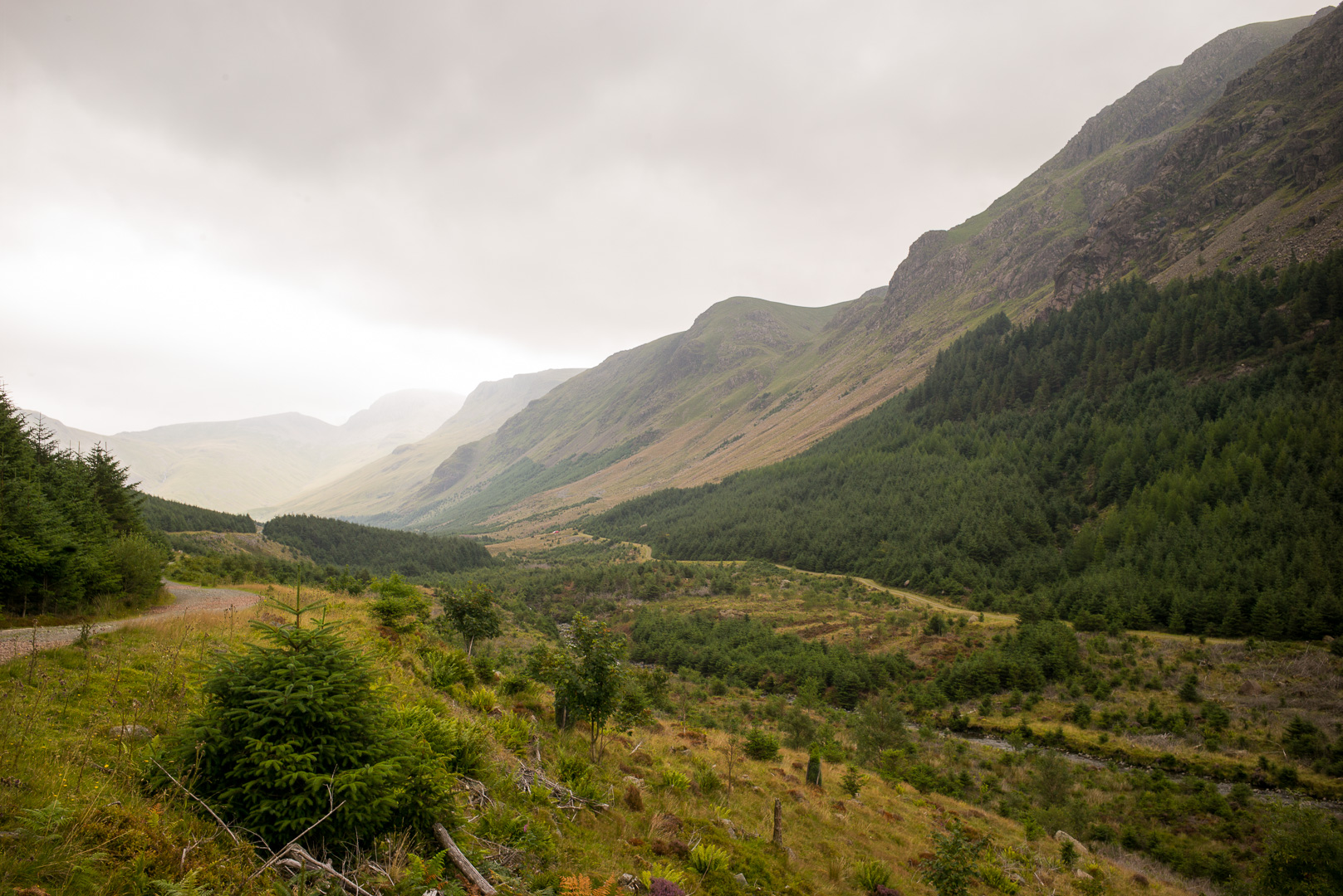
Day 2 – Ennerdale Bridge to Rosthwaite
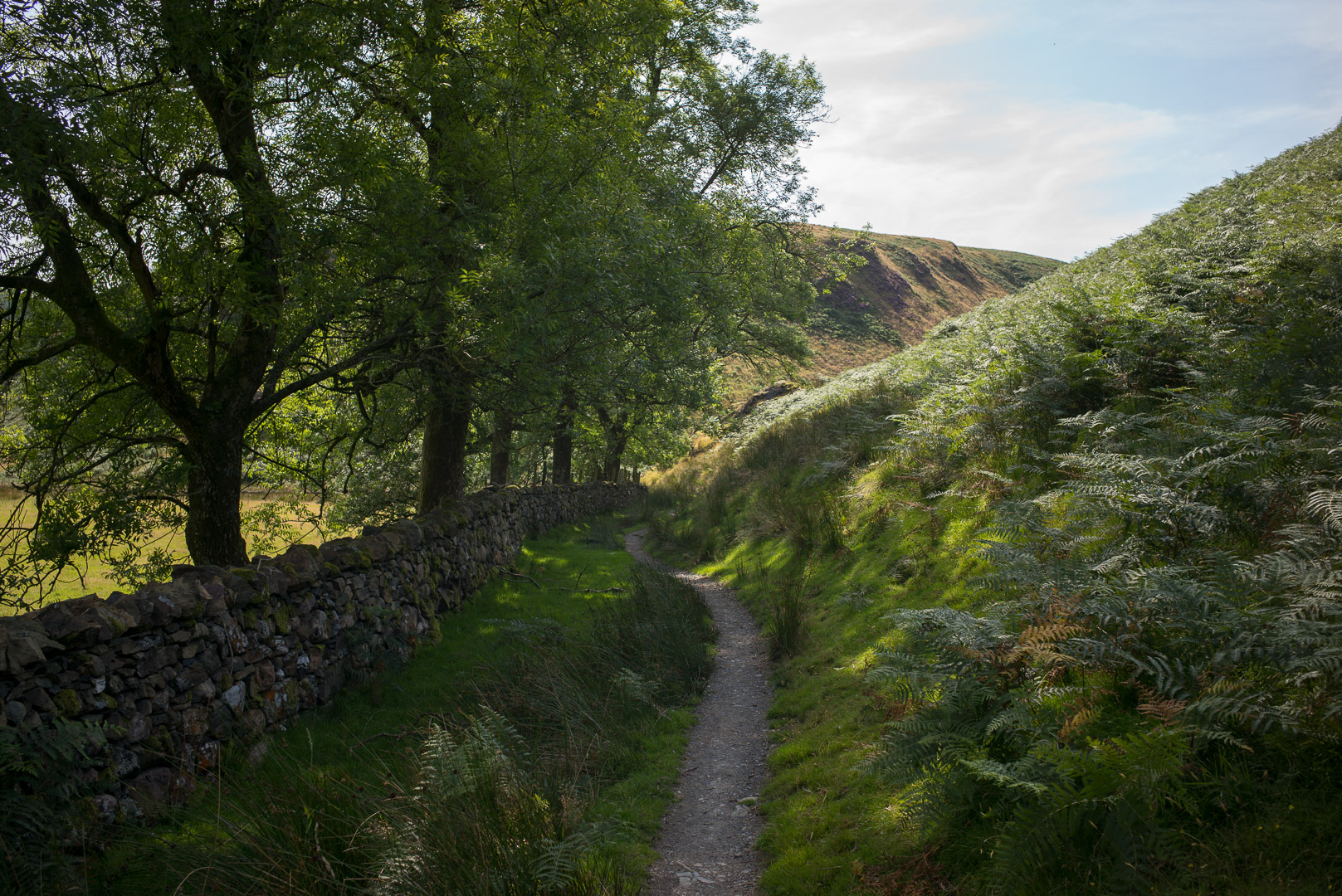
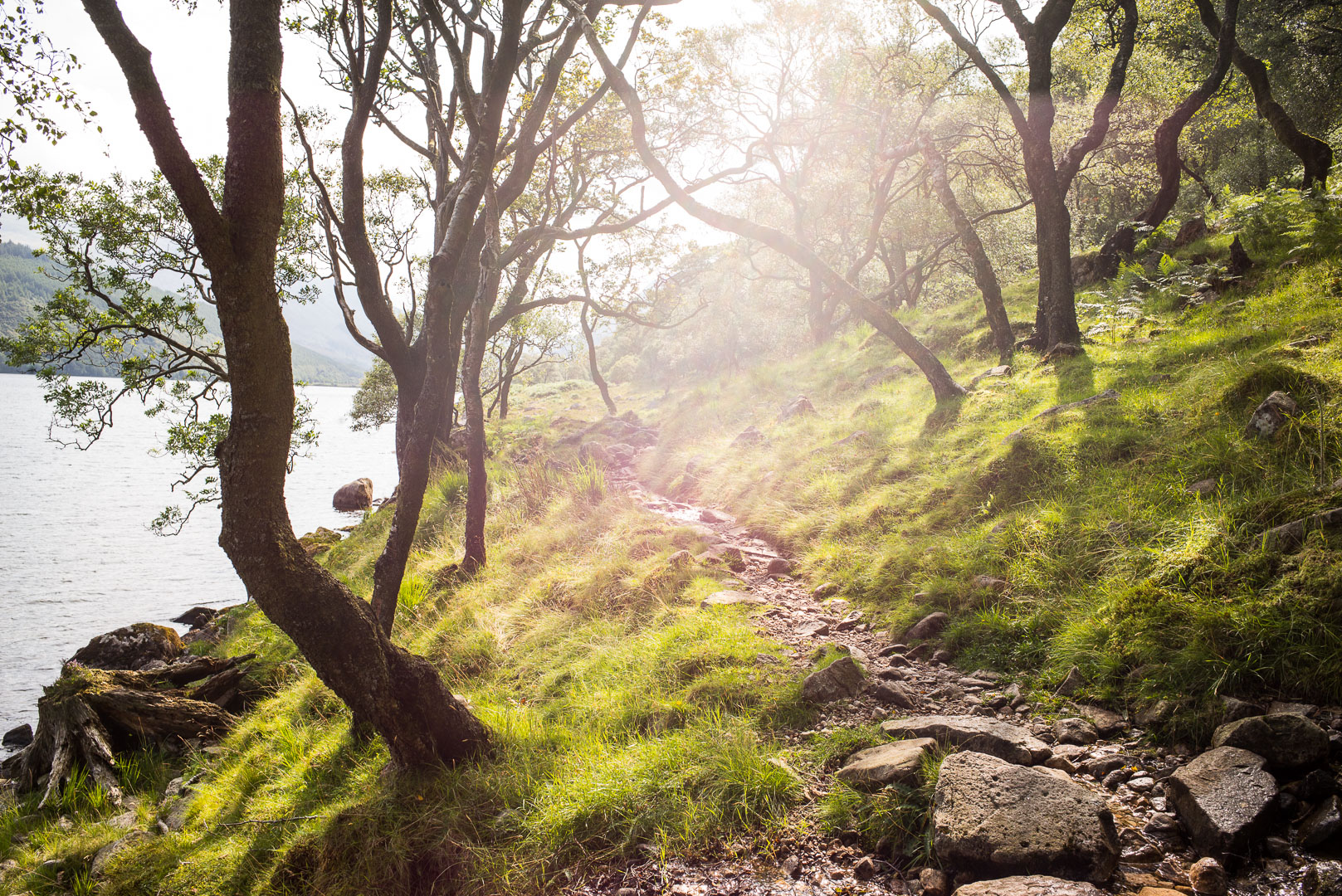
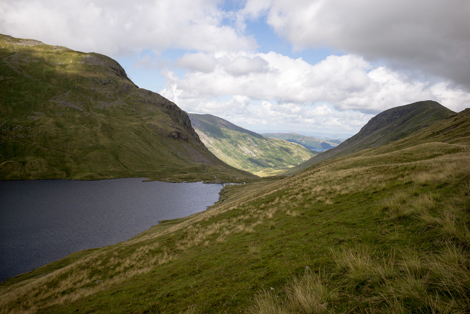
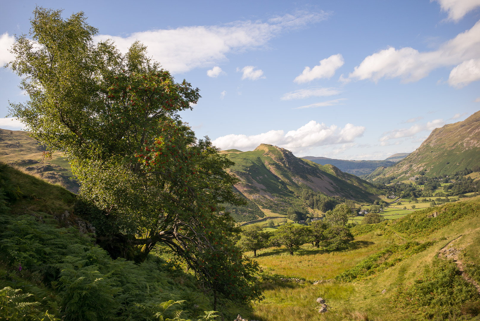
The morning began well enough, though the weather did not look particularly good. I set out down to the lake: Ennerdale Water. Its quite a remote place and the walk takes you around the southern edge of the lake. The trail is quite difficult, and clambering around rocks I really do not feel that well. I pause for a bit, and continue on, but don’t improve much. I don’t really know what it is, the air is quite stuffy and humid, with threatening rain, but nothing terribly difficult and though the going is quite tough, I don’t feel like I’m overly stretched in anyway. I soldier on, but don’t improve, and I start to actually wonder if something more serious is going on. Quite uncomfortable. I pop a couple of advil, and walking quite slowly now, feeling quite light headed.
I reach the end of the lake and look back, realise how isolated a place this is. There are other walkers on the path, a couple of youth hostels in close proximity, so I remind myself that its not that isolated. I just sit, look over the view and calm down. Eventually I feel more normal; I think it was a panic/anxiety attack, perhaps the enormity of the task ahead, the fact that you basically deal with each step on your own, just got to me. But I’m ok, still not fully myself, but I need to keep moving. Up ahead is the first real climb as we traverse the 600mtr climb up Loft Beck.
I stop for a cup of tea at the Ennerdale YHA. Have a nice chat with a family doing a tour through the region. Its a lovely place, and a lovely cuppa. Still not 100%, but feeling better and I need to push on there’s alot of walking ahead. I arrive at Black Sail YHA about 1pm – its taken me over 4hrs to cover 14km, I think I’m about an hour behind what I was aiming for. There’s plenty of daylight left though, so I have plenty of time.
I’m in the hut for not 5 minutes and it starts to bucket down, pouring rain. Crap! I wait it out a little bit, I can do with a longer rest anyway and start off again around 2pm. Had a nice lunch with some people in the hut, including a lovely dutch couple. They are all much better prepared for this kind of weather than I am. Oh well, off we go, up the climb. Somehow I end up going further south than I should have, so I’m now clambering around the crags, looking for a way to head north to get back to the path. I’m not so much lost as I know which direction I need to head in, but its frustrating because this is hilly country, lots of deep gullies so you have to follow the terrain (which is not exactly cooperating).
The weather looks grimmer and grimmer, thunder, and its starts pelting down! I have my wet weather gear on (that would be a reasonably waterproof jacket) – its not cold, so I’m not worried about my legs getting wet (they are soaked in about 5 minutes) – camera safely stowed. Onwards, but feeling pretty miserably, but at least I’m miserable in a “healthy way”, as the ill-effects of the morning are not present. I really should not have missed that path! I traverse across the ridge and make my way down hill, quite relieved that I really did know where I was (or perhaps where I needed to be), and I see (and wave to) the couple as they descend the proper path that I’m cutting over to. Finally, make it down to the Slate mine of Honister, soaked, but a cup of coffee is had with much relief for us all. That was a rough hour or so on top of a rough morning.
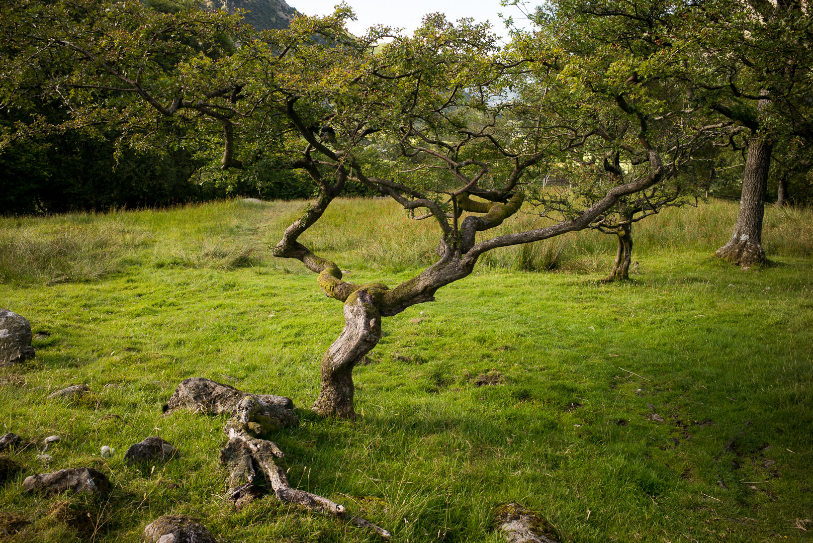
The rest of the day I walk with my newly found friends, the weather is milder as we are lower, the sun comes out and it is a glorious later afternoon’s walk to Rosthwaite.
Day 3 – Rosthwaite to Patterdale
I’m still a bit shaken after yesterday’s little meander, but I also realise that I need a better jacket to handle these conditions; the weather is not going to clear. Further, many of the people I’ve started out with split this stage into two, with a stop overnight near Grasmere, and reading through the guide, doing this allows you to do a climb each day over the crags, rather then rush through this spectacular countryside.
All in all, I decide to “kill two birds”, I can get a bus to Grasmere via Keswick, which is a large town with plenty of good outdoor stores. So, off to Keswick I go, get an absolutely brilliant jacket (light, even with wind and rain it is summer and not overly chilly) and get a water-tight bag to store things in (rather than a pack cover). Then to Grasmere and I arrive there around 11.30am, in plenty of time to do the walk over to Patterdale.
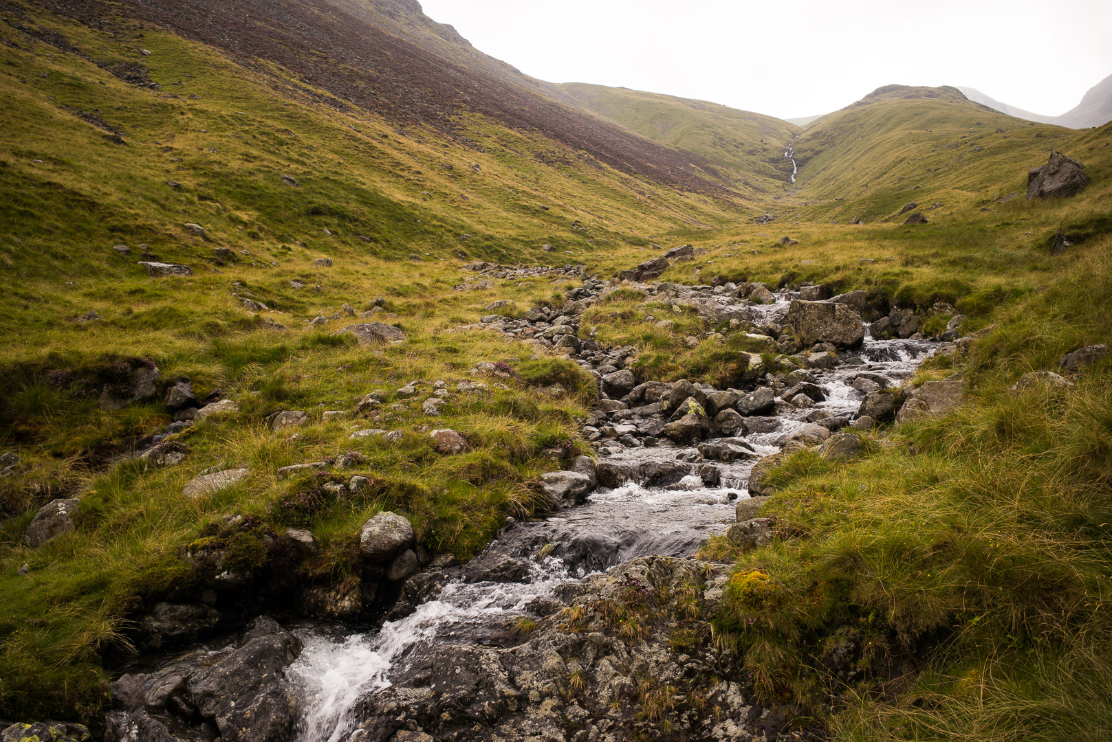
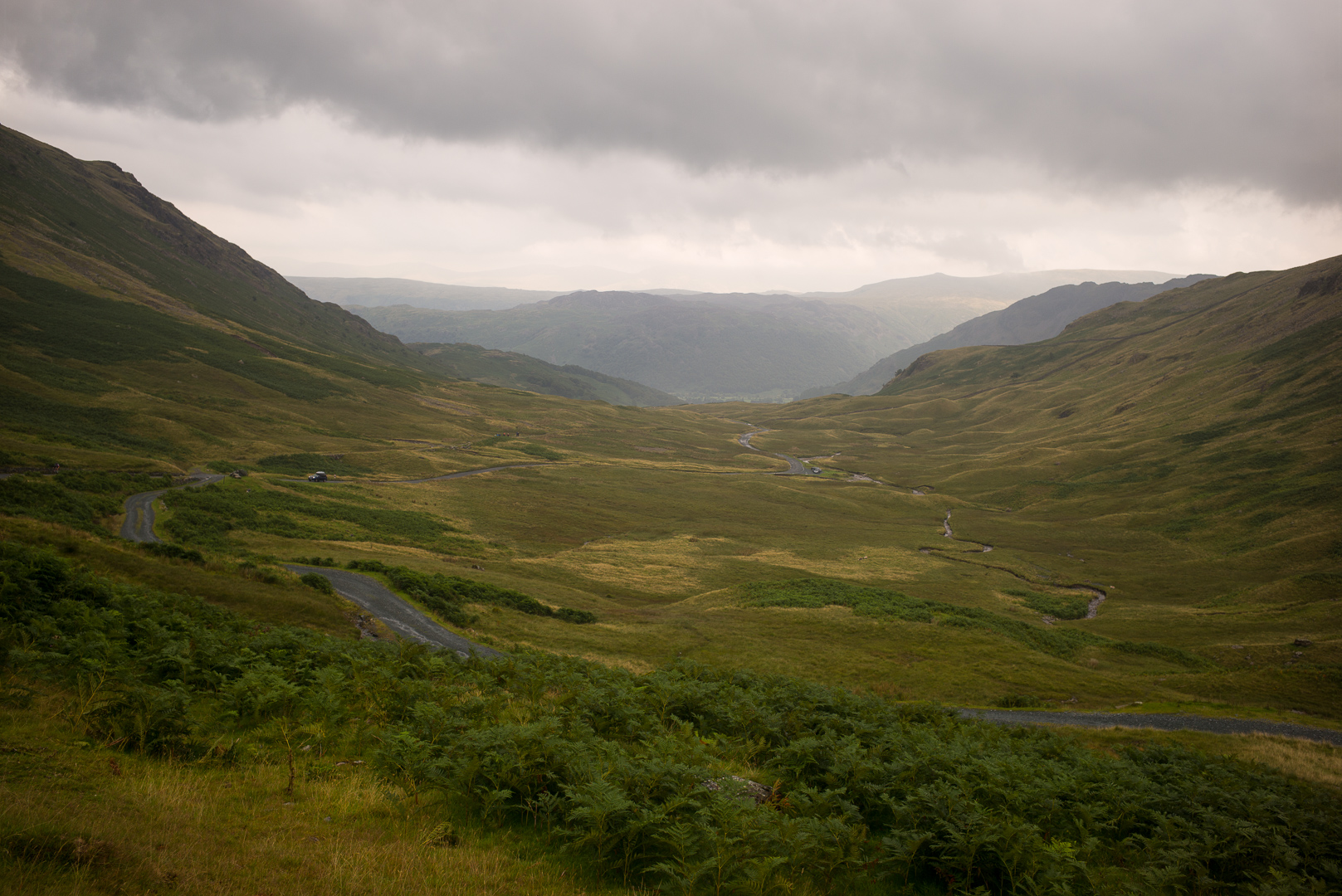
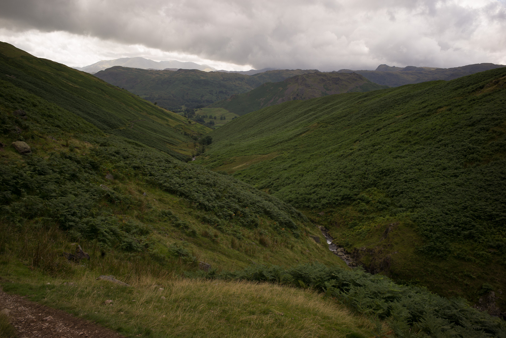
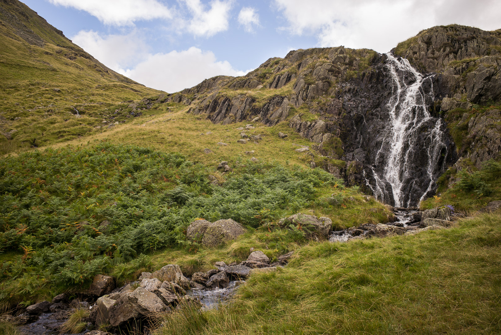
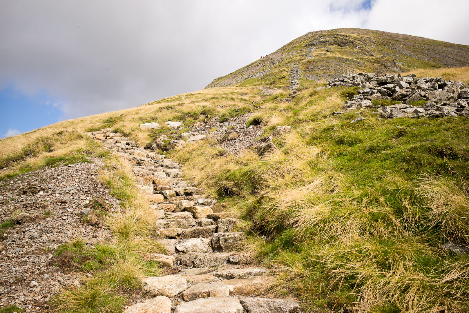
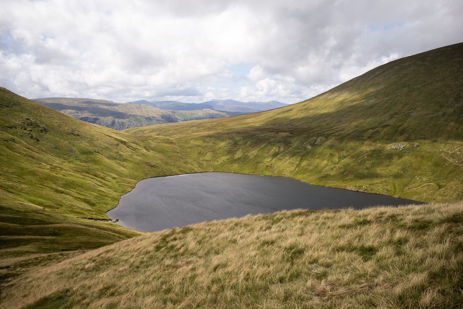
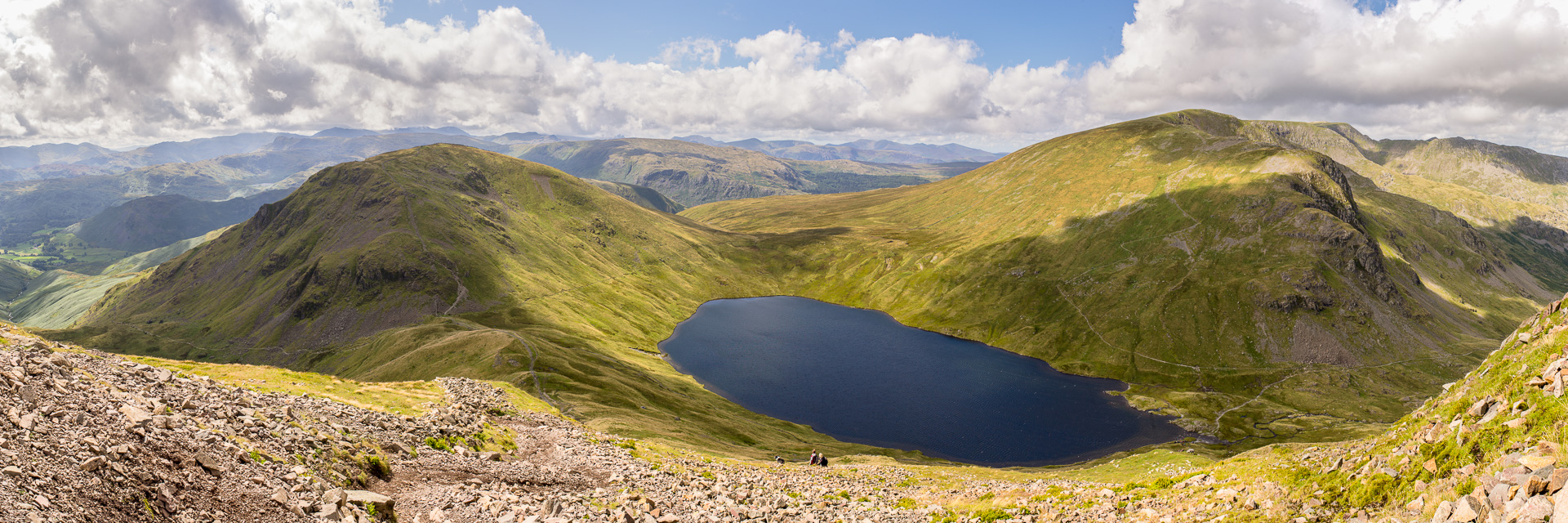
The weather is not that brilliant, but looking around it looks like its actually more behind me than in front, so I head up to the Tarn (a small, mountain enclosed, lake). From there, there are 3 choices, 1 very high climb (which is not one I even considered), 1 down the valley, and a third up and over St Sunday’s Crag. From all that I can read, it looks pretty straight forward, just an up and over walk, so I decide I’ll do that. It would be a shame to miss this; its about 780 mtrs, has spectacular views, and this is what the Lake district is all about after all.
Up I go, and of course when you get to the top, nothing is clear, and I can’t match the descriptions in Steadman’s guide book with what I’m seeing. I should have been using a topographic map alongside this, but I’m not as the guide seems detailed enough. I’m following
“The Cape” – which is the high point of this track – and the views are truly magnificent, but I’m also quite annoyed with myself. I now have to find another way down, but the weather is sunny, if incredibly windy, and their are plenty of people about.
I end up having a brief chat to a lovely older woman, and while I’ve missed the path I was aiming for, she says that even the mountain rescue people will go down into the “wrong valley” from here. It is quite tricky if you don’t know it. I realise what I’ve done wrong, but I can see a trail that should be ok, further south than the official trail, but no matter. I scramble down from the cape and join this trail and I’m heading down (finally). My accommodation that night is south of Patterdale, so by the time I come off the mountain, I’ve probably saved myself about 3 or 4 kms of walking. Still, I’m annoyed that I didn’t find the path I meant to take.
Day 4 – Patterdale to Shap
Now for the news: the South of England has been hit by the remnants of an Atlantic Hurricane with gale force winds and some flooding. Weather warning alerts (rain and high winds) have been issued for the entire British Isle, as the weather system is expected to move northwards during the day.
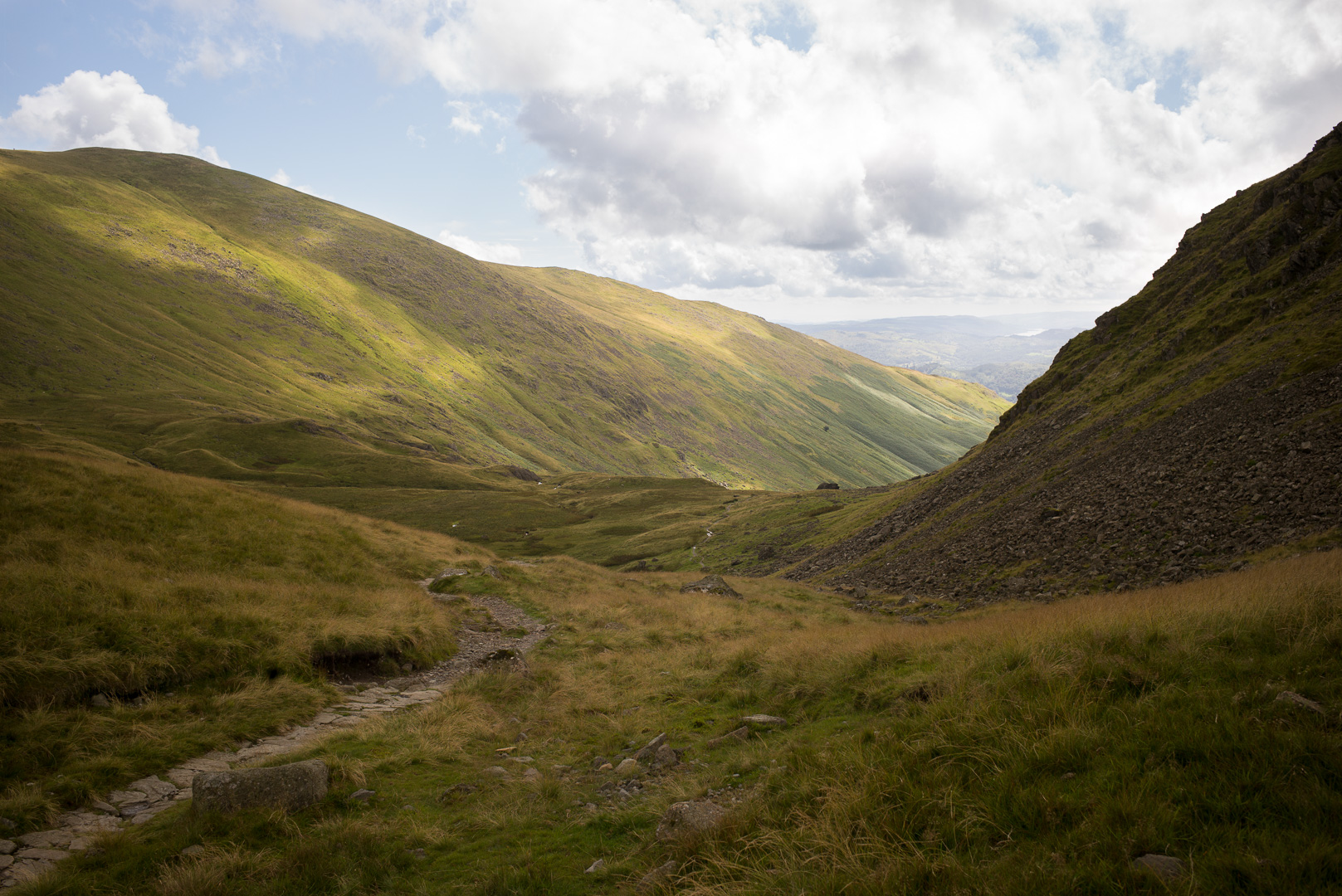
I’m still not that comfortable with the terrain, and maps. I have a topographic map, so that is going to be used first from now on, but this weather is really bothering me. The day’s walk would take another high climb (780mtrs) and with the howling winds on top of St Sunday’s Crag yesterday, I really do not think pursuing that track is a good idea. I’m poking around the web looking for alternatives, there is a low path that leads from the top of the lake (Ullswater) to Shap, but I have no maps for that, and I don’t trust that the path will be well marked enough for me to do this without any real clue of where I’m going (its bad enough when I do!), and I’d rather not be figuring out the topo map in driving rain, howling wind, poor visibility, etc.
So, discretion and all that, I take the bus. Its a pleasant drive through the back hills, the weather is not too bad (grey, windy a bit, rain on and off), but of course there is supposedly worse to come later in the day. I arrive at Shap, the BnB there is lovely, with a charming hostess (Margaret). Shap is pretty drab really, just a small collection of houses along a road with a couple of pubs. But, we are out of the lake district at least (and with weather that is not improving this is a bonus I think).
Day 5 – Shap to Kirkby Stephen.
Overnight I’ve met an Aussie guy (Clarence) and an American couple (Darren and Patricia) doing the walk. Clarence has had the great misfortune of some serious injuries to his ankle and so is no longer walking. Darren and Patricia are going on and I end up joining them for this stage of the journey. Over the last day or so we have also swapped tales with various travellers and seems like going “off trail” is pretty common (perhaps, at least for a first timer if you haven’t gone off trail once, you aren’t really trying!!!). Ok, thin words, but you know…
We head out, and the weather is pretty lousy, eventually driving rain hits us for about 20 minutes, and the other times are windy, chilly and really pretty unpleasant all round. Darren has a GPS system with the walk programmed, so I’m calibrating my reading of the topo map with the GPS; very helpful, its like a crash course in a couple of hours. It doesn’t show any sign of easing up and so we decide to cut the day short, taking the detour to Orton (its about 13kms) and then will grab a cab to Kirkby; though I think the afternoon did ease a bit; no matter, decision made!. Orton is worth a visit, it is a pretty hard slog to add it to the usual day’s walk in any case and if you can find the time, it is worth the stop. Picturesque little village, with a truly delightful chocolate shop! Yumm!
The weather is still pretty nasty in places. We have a nice chat to the taxi driver who does a little hiking in any case. The next day’s walk is to Keld, and he’s suggesting that walking to Keld by the road is better given the conditions, rather than over Nine Standard’s Rig. I’ll do that the following day.
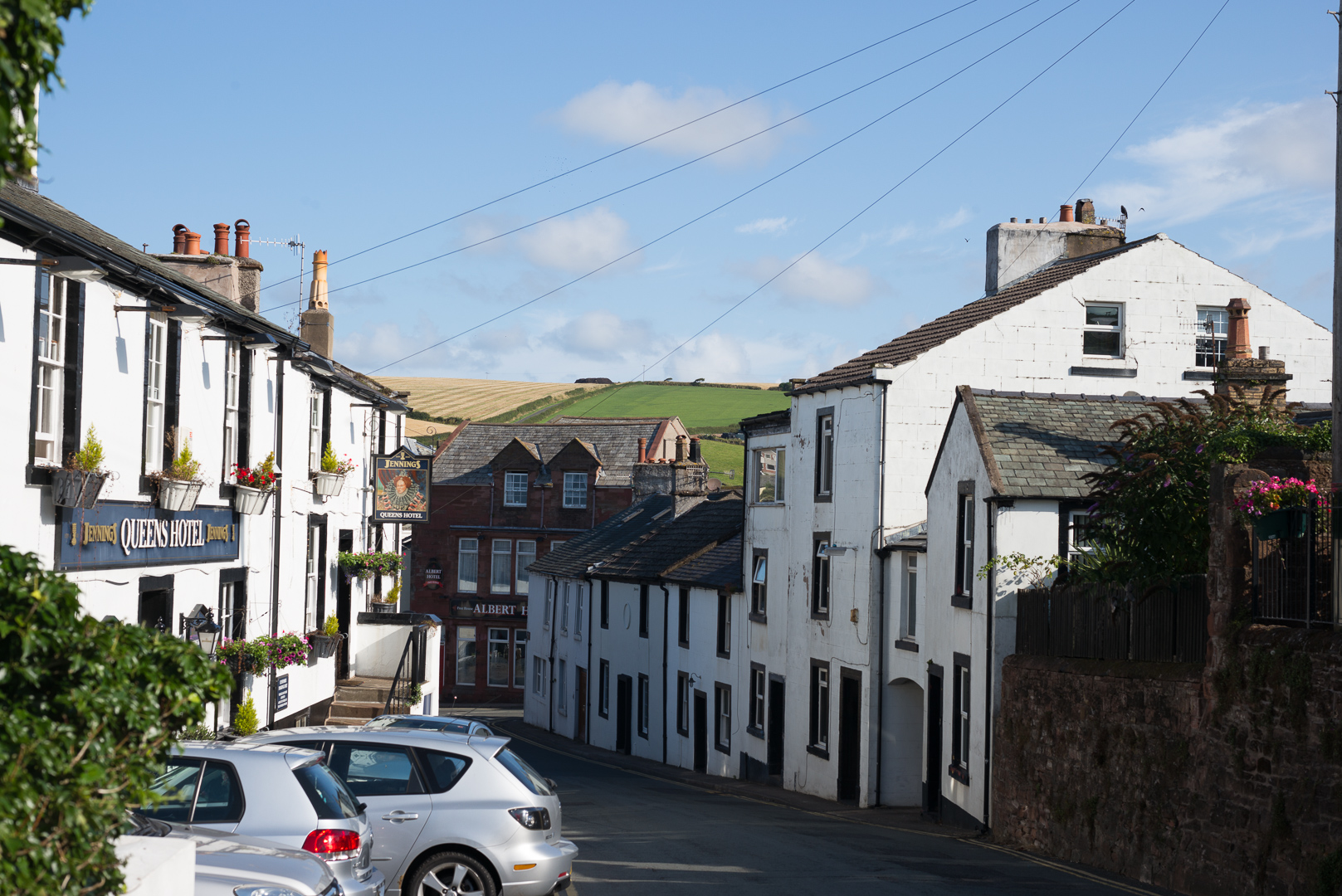
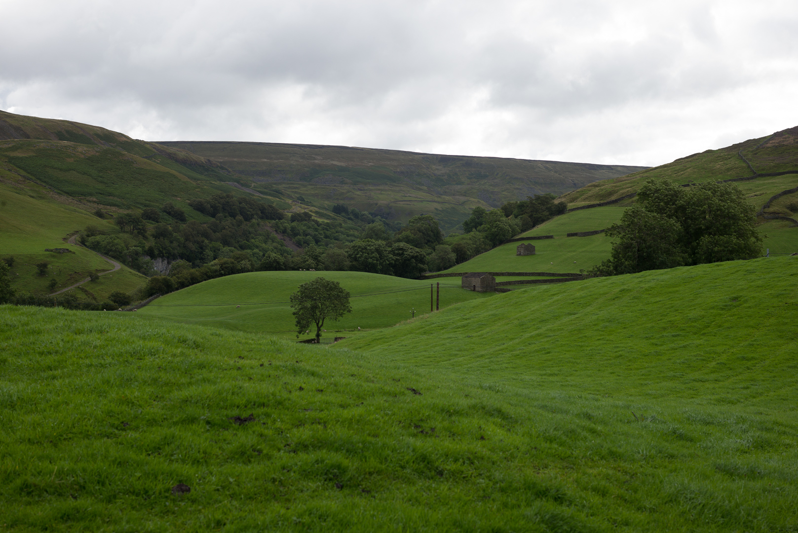
Day 6 – Kirkby Stephen to Keld
There are two benefits by doing the road. Firstly I have a much better idea of how long this will take as I’m not having to factor in navigation and unknown paths. Second, I get to spend a few hours in the morning in Kirkby Stephen. Our erstwhile tour guide had suggested not getting to Keld too early (“there’s nothing there” would be the exact quote, but don’t quote me on that!).
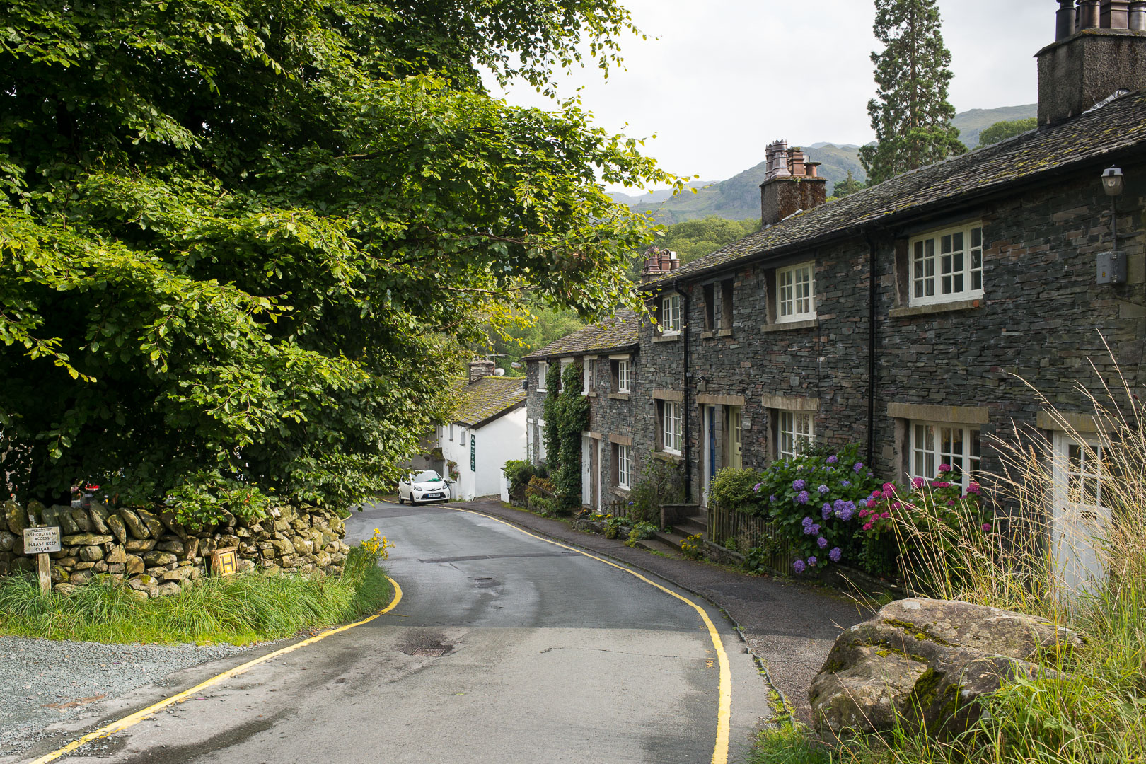
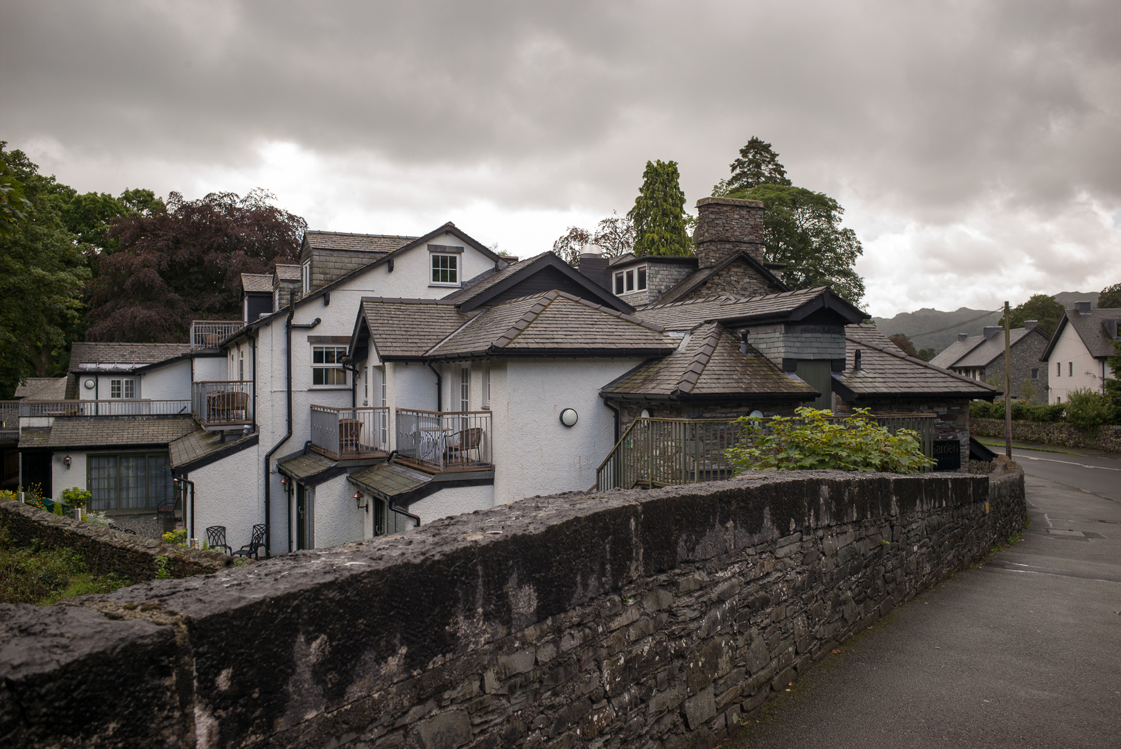
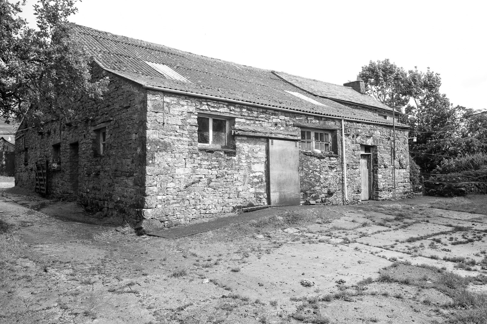
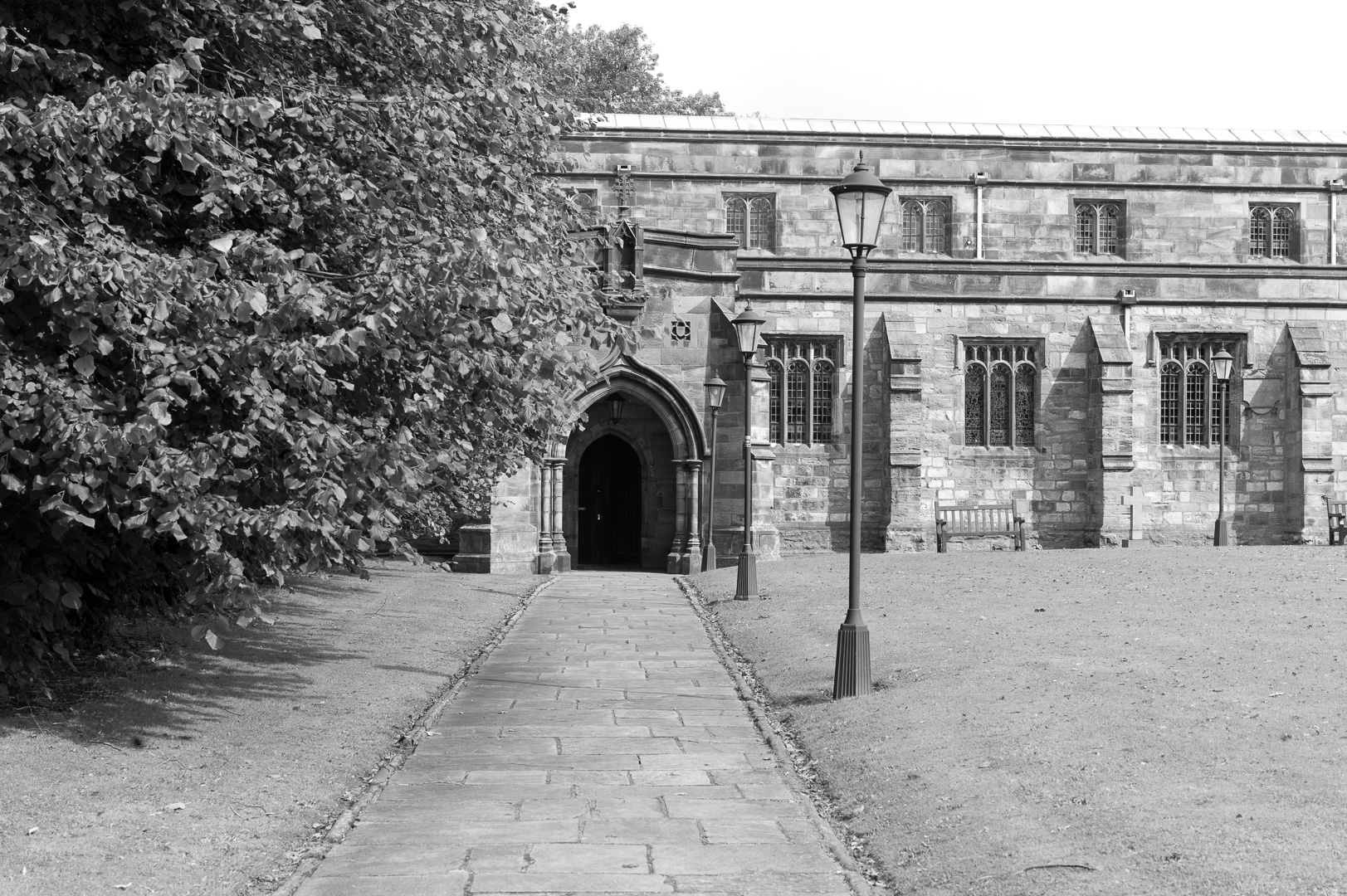
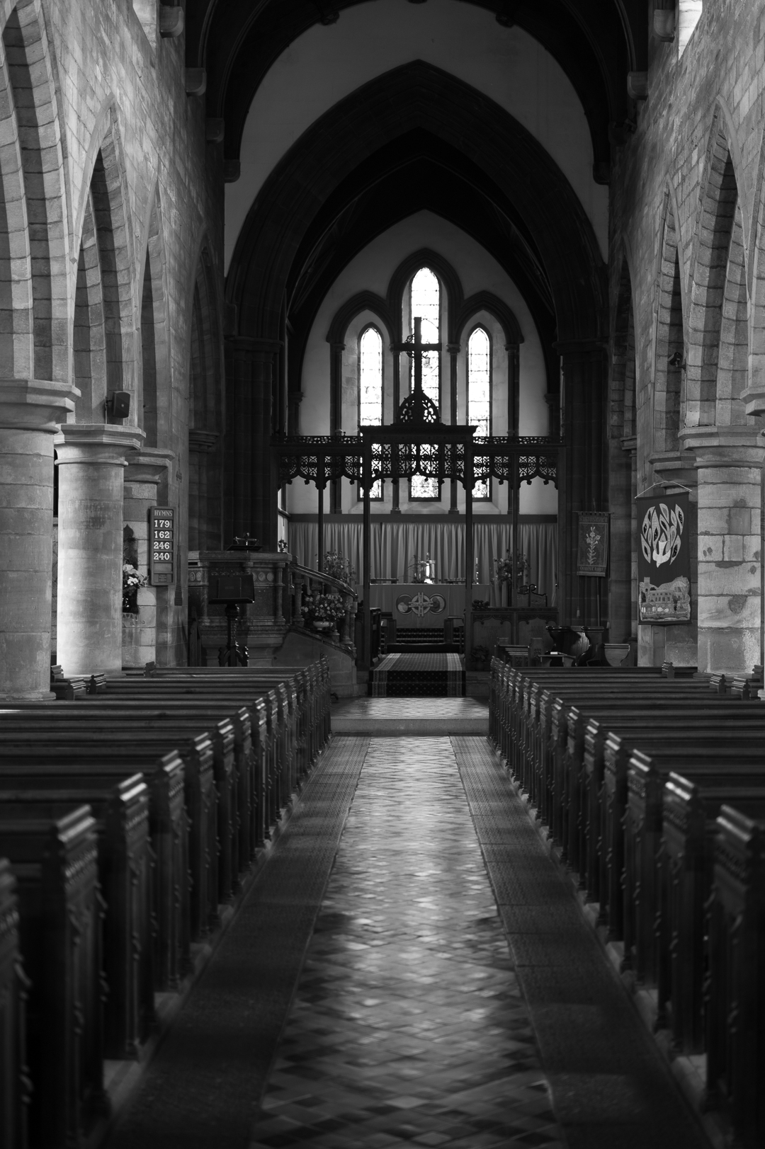
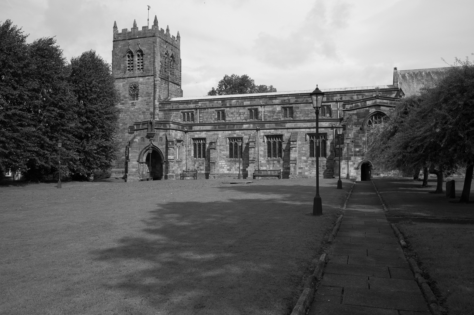
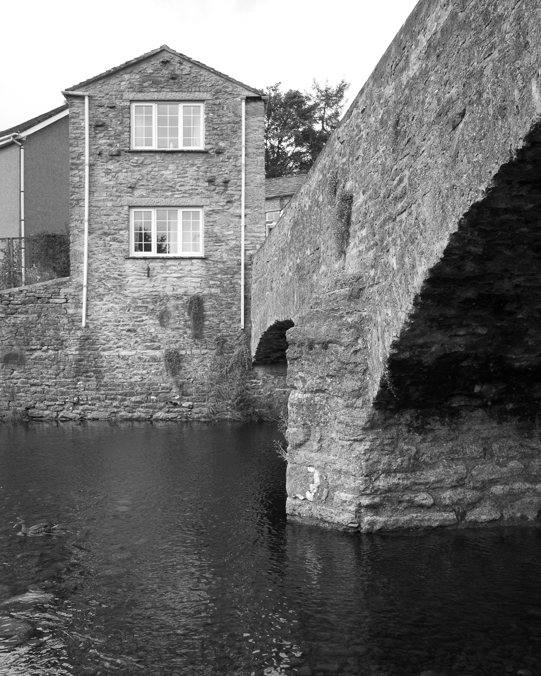
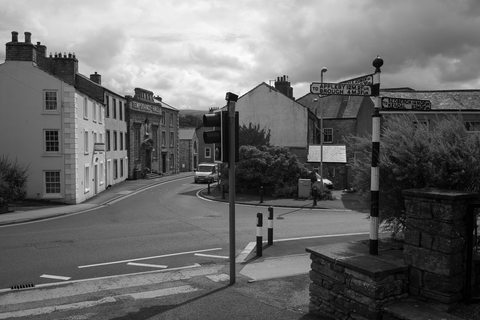
Kirkby Stephen is really quite a charming village, with a market (which my timing missed) an old church that is worth a visit and some nice little nooks and crannies.
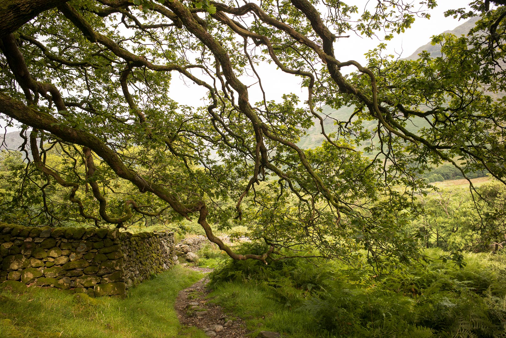
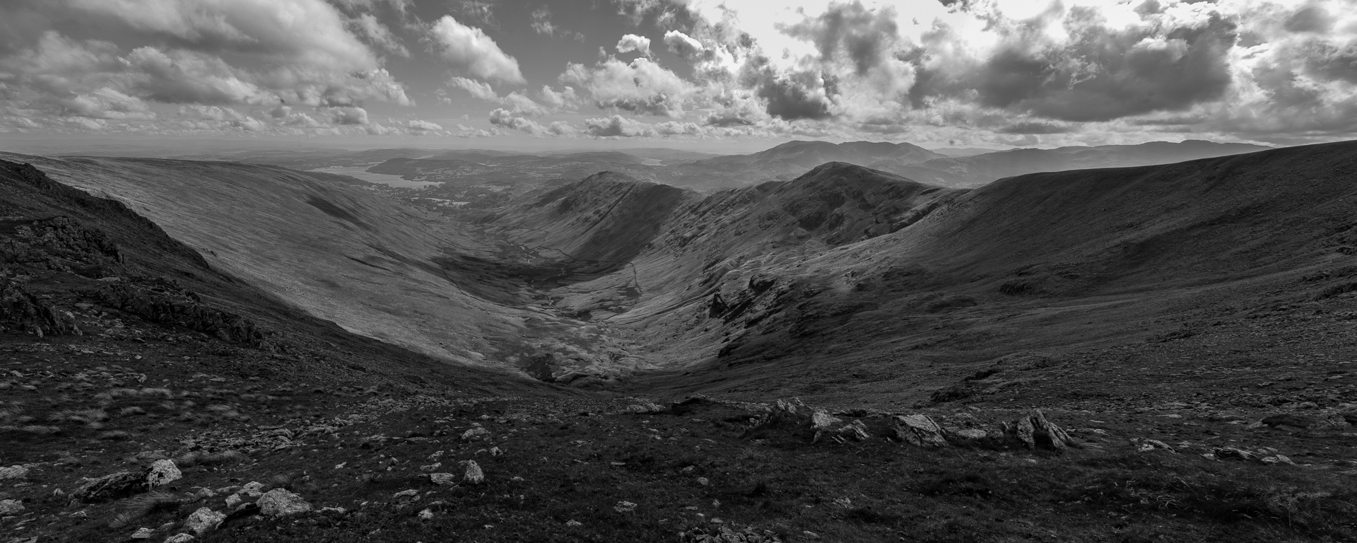
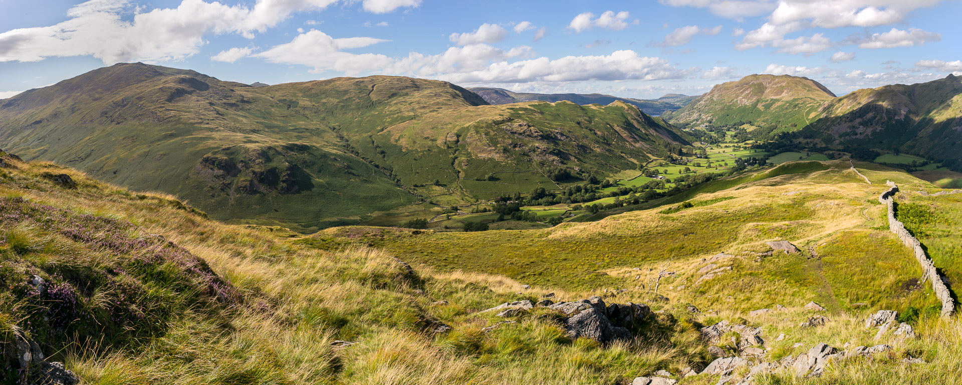
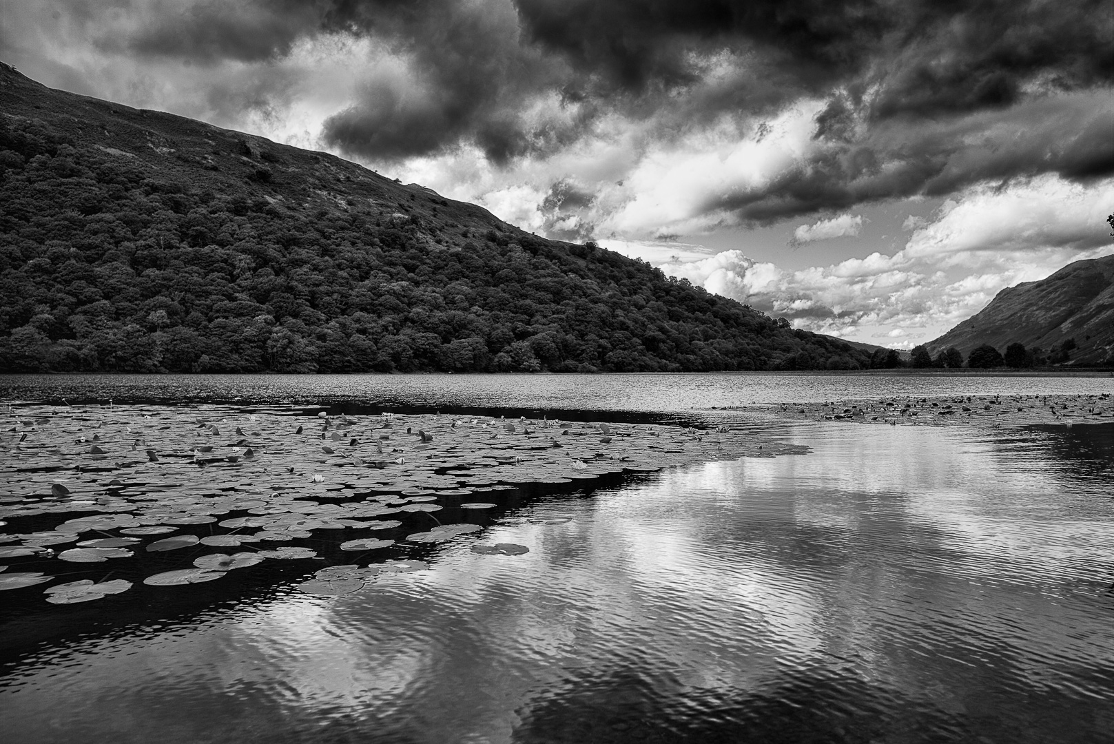
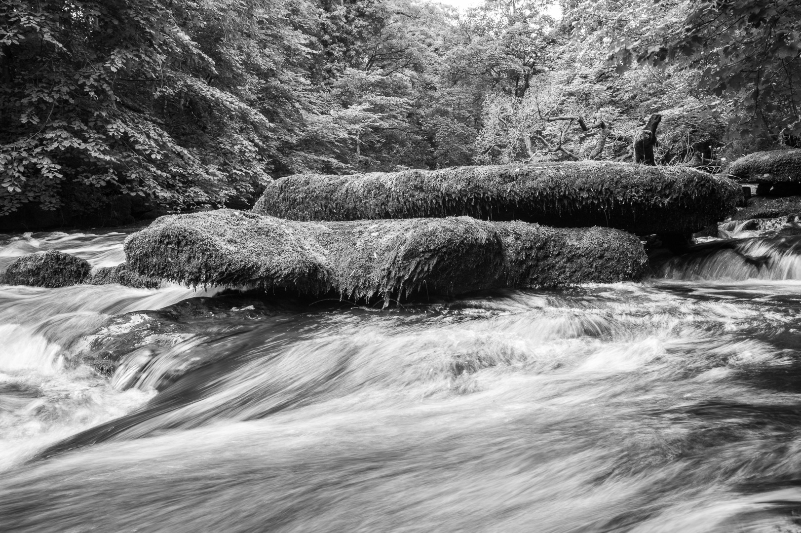
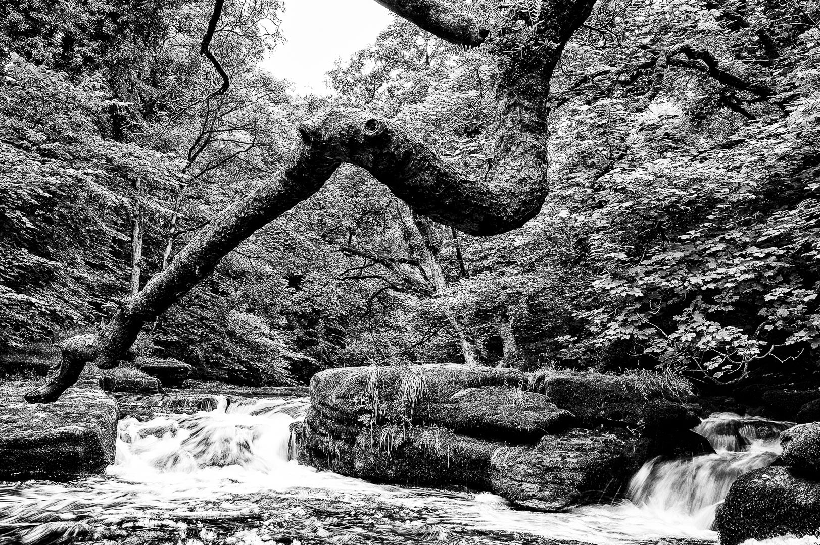
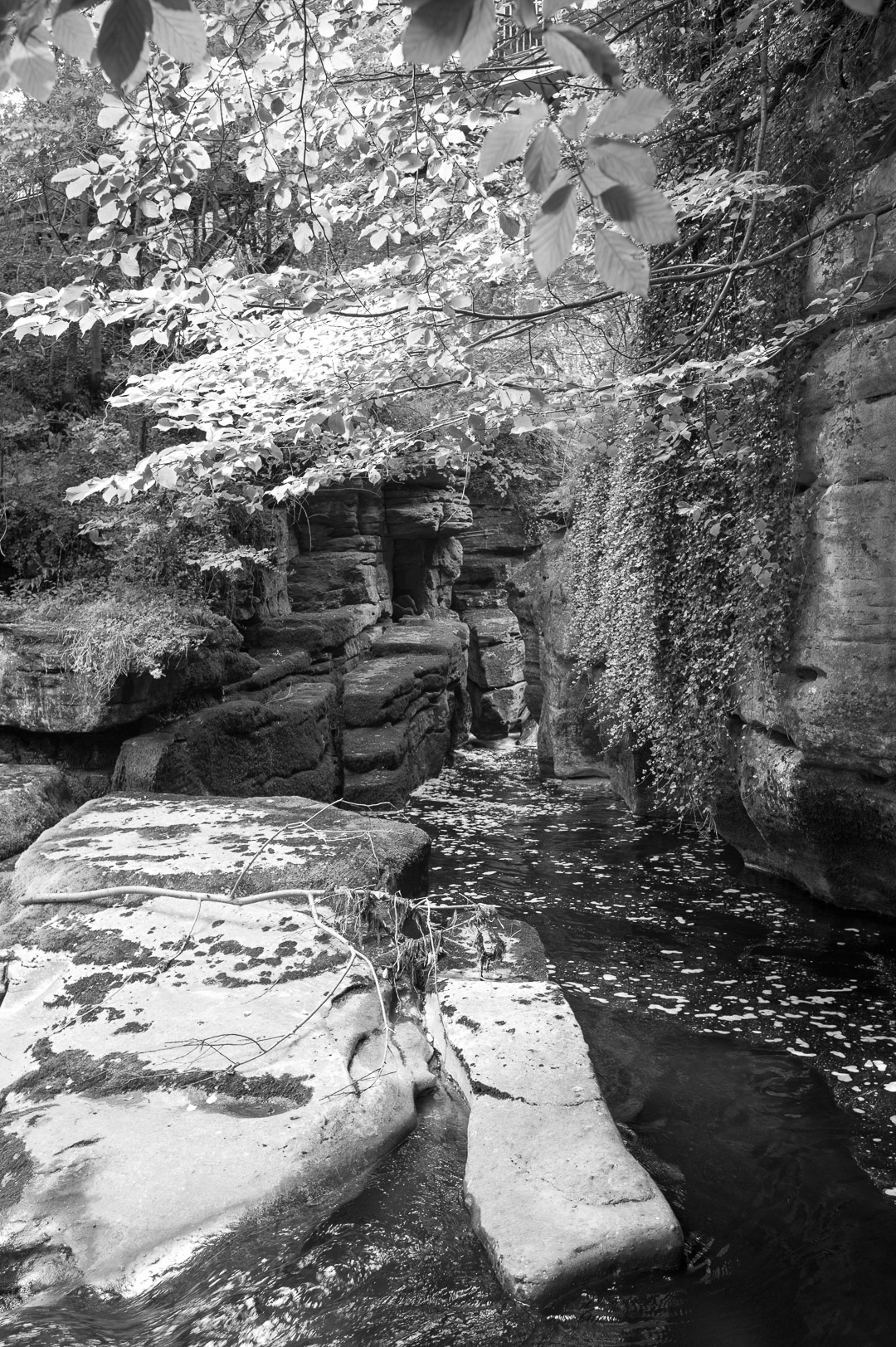
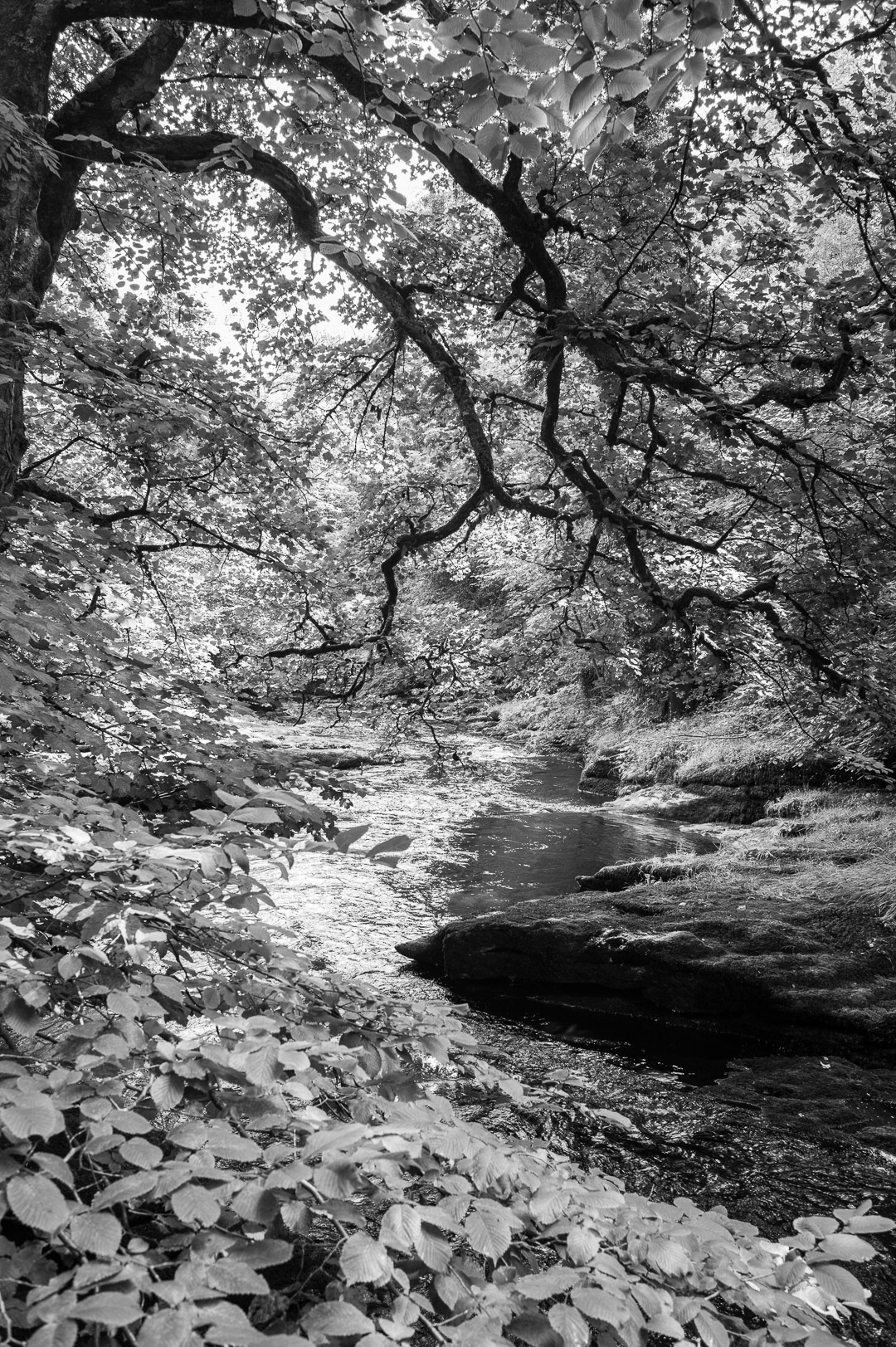
An unexpected discovery was a lovely piece of river and parkland (River Eden). The weather is still pretty much grey, windy, spots of rain, etc, so I’ve decided that is “Black and White” day today with the photos.
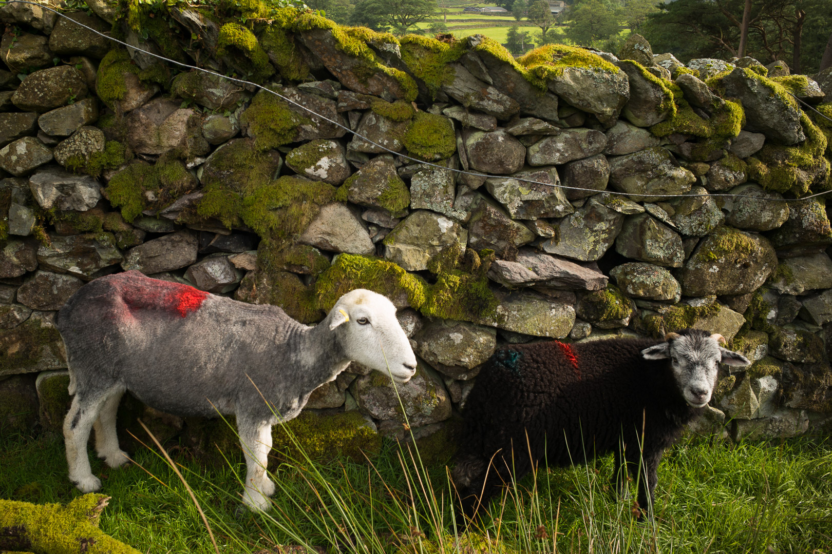
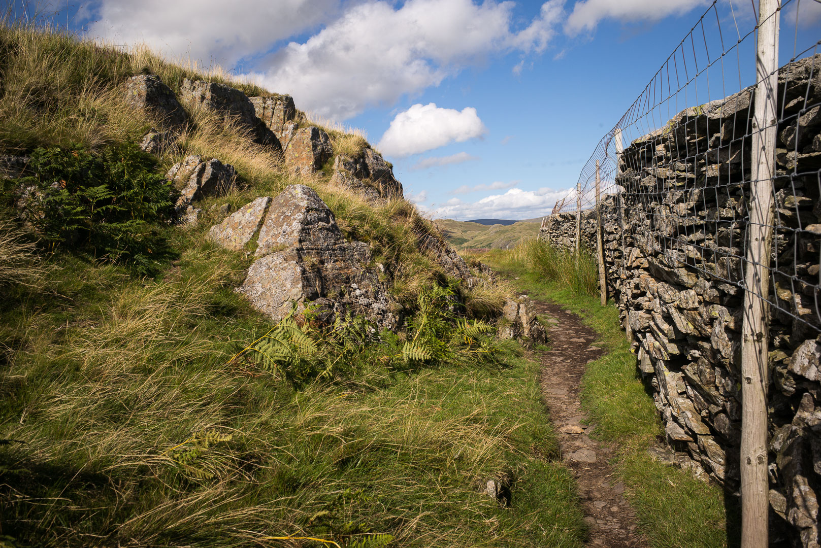
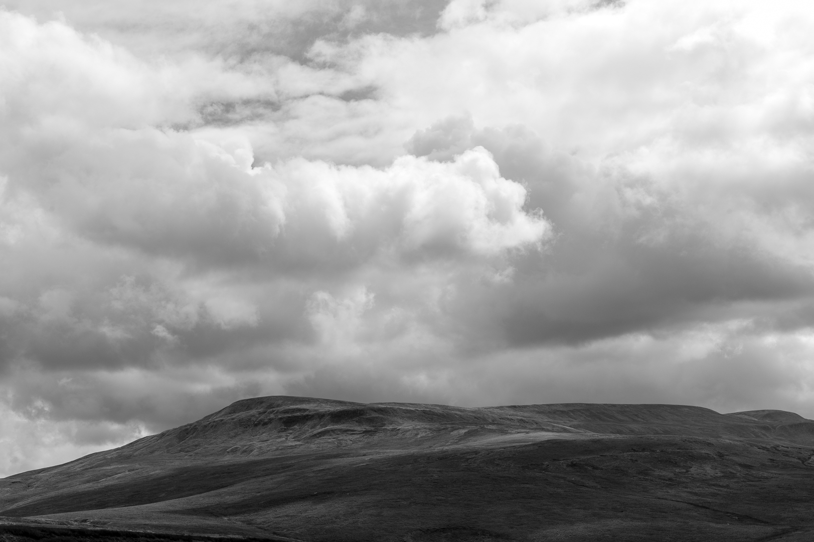
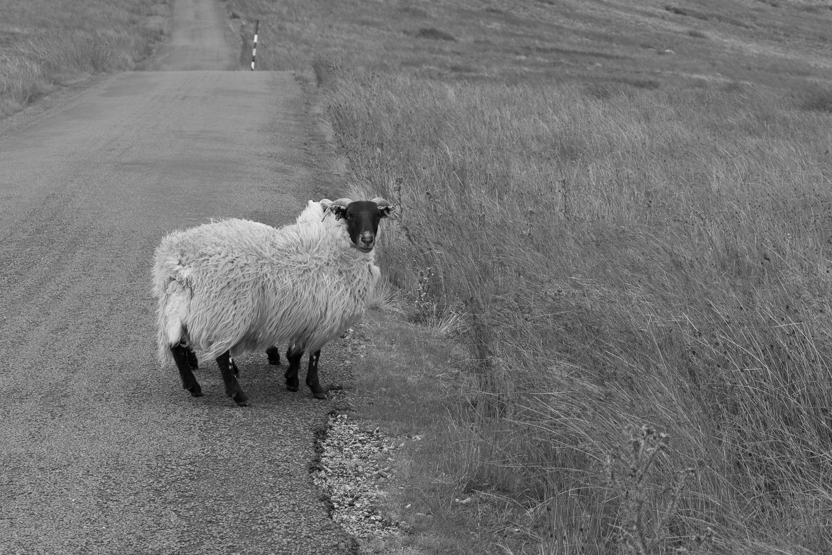
The walk along the road was really quite nice and its still a 17km walk, just not through bogs and staying a bit lower keeps you out of the worst of the wind. Its a quiet and remote road though, with more sheep than cars.
I am now in Keld, the half-way point of the coast to coast:
Comments are closed.