The second half, which either is “that far to go” or “Wow! I’ve come this far”! Either way, there’s still alot of walking to get to the east coast and see the sea, touching feet on sand. With the most difficult navigational parts of the walk behind us (I fervently hope!), I’m now both a little sore, with some careful walking needed to begin the day, as well as getting to be quite fit and comfortable with the distances we have to travel.
That all said, I’m still somewhat leery of the navigational demands and face the next day with a little trepidation. The last stage, with its pleasant discovery of the River Eden’s park and a straight road to follow has also given me the sense that I prefer the lower country in large part, it is more photogenic to begin with, and there is something to be said for vistas that look up or across, rather than down. Still, the spectacular views of the Lake District are not something I would have missed.
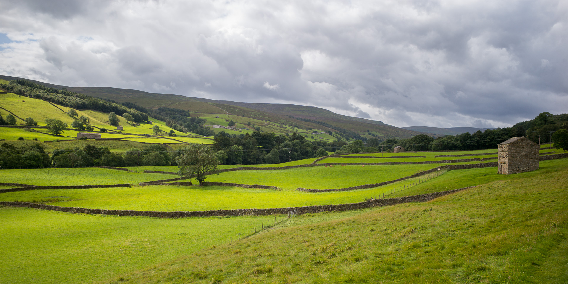
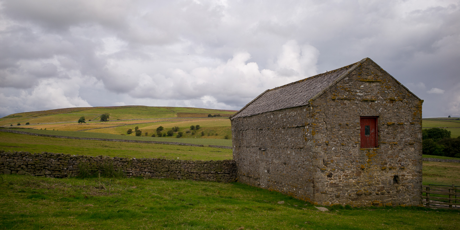
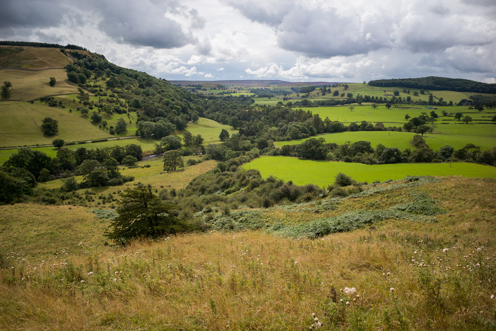
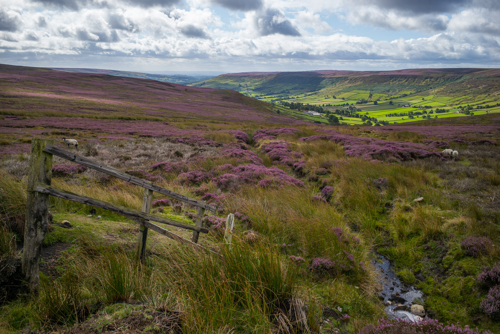
Day 7 – Keld to Reeth
Walk – 18km
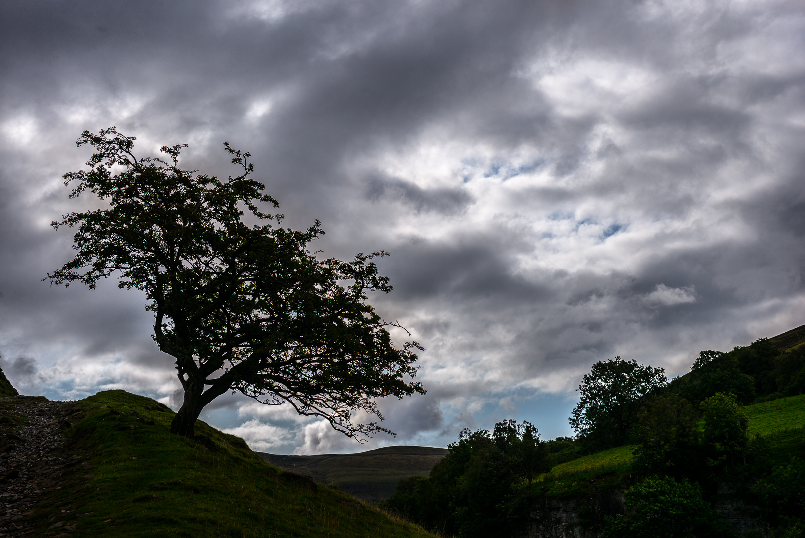
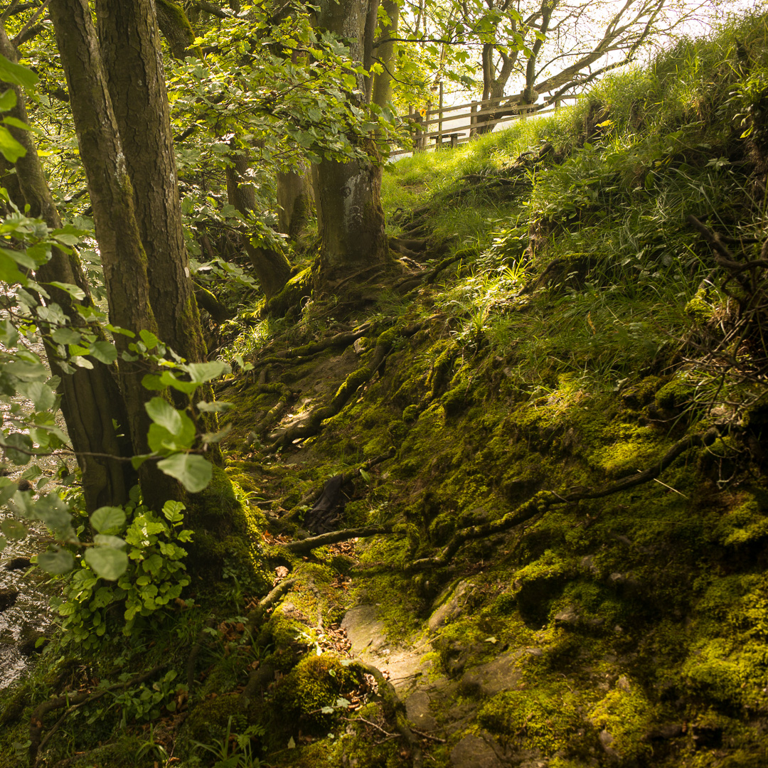
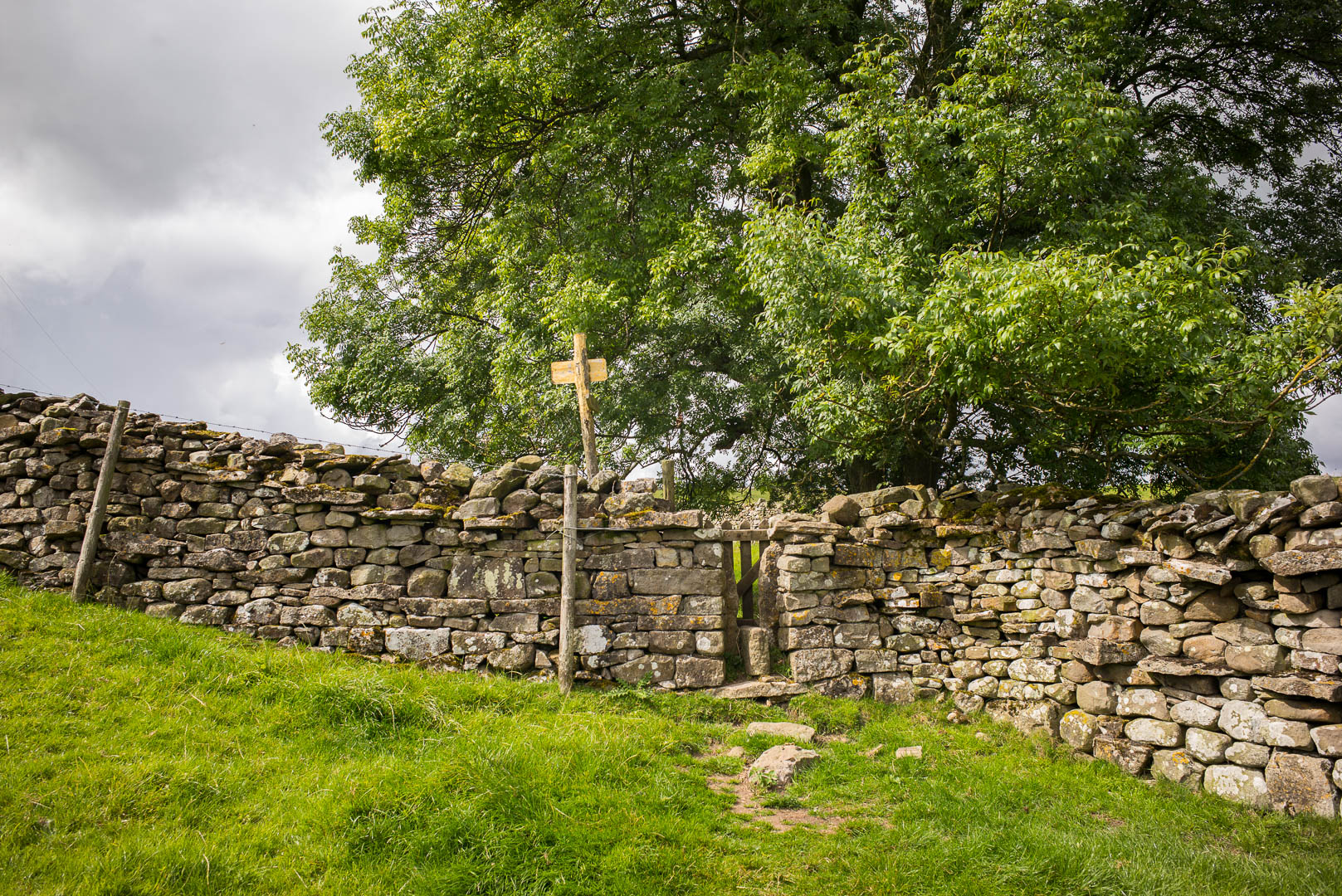
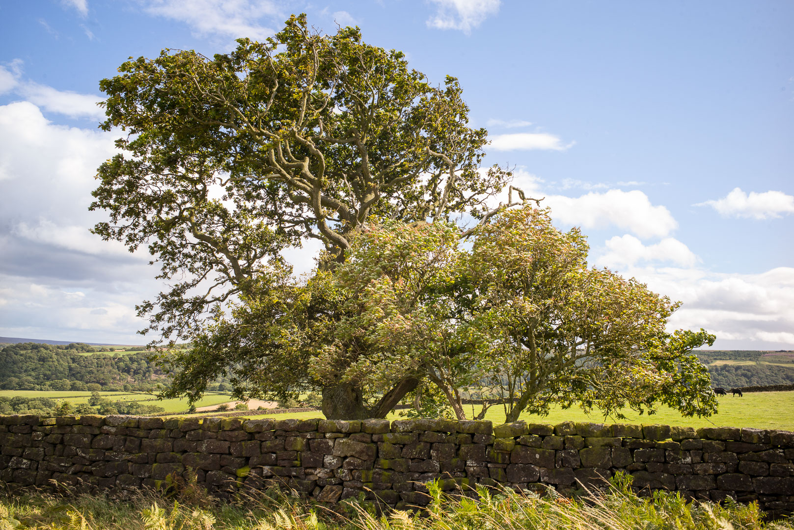
The hotel in Keld was quite nice, but I still have a little trepidation about navigating as I head out, something that this image of the tree captures I think (as well as the still present concern of what is the weather going to do!).
Shortly after starting, I hook up with 3 fellow walkers that I’d met previous days, and we continue our journey together. I’d decided to take the valley route (not only due to the weather, but also I think because I’d prefer it given yesterday’s discovery). I’ve decided that Wainwright (God Bless Him) much prefers the remote crags of the heights than the pleasant discoveries of the river valleys, and an opportunity the is afforded to you along this route is a detour to the village of Muker, with its many sights (and it has to be said, very confusing street layout… we got lost trying to leave this damn village!) We were trying to avoid retreading the path back to our route, but that turns out to be the only way, as the bridge further down river, which had closed pathways from the town, was washed away.
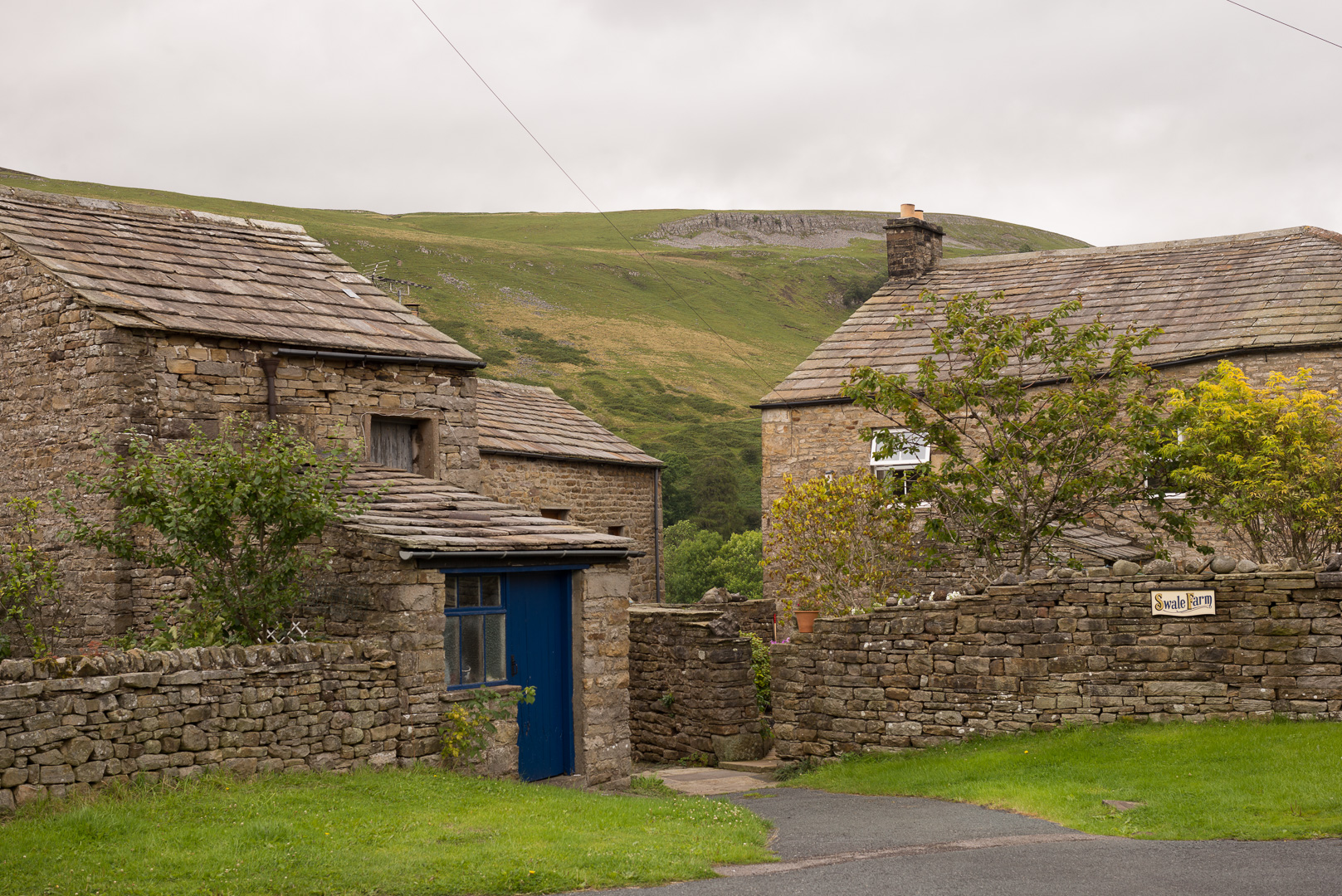
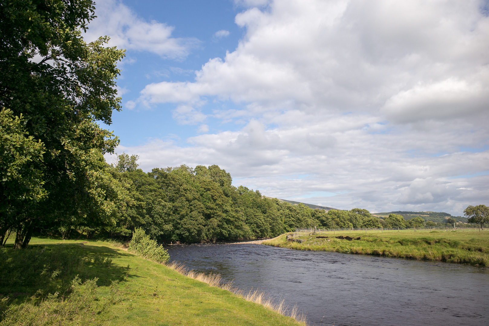
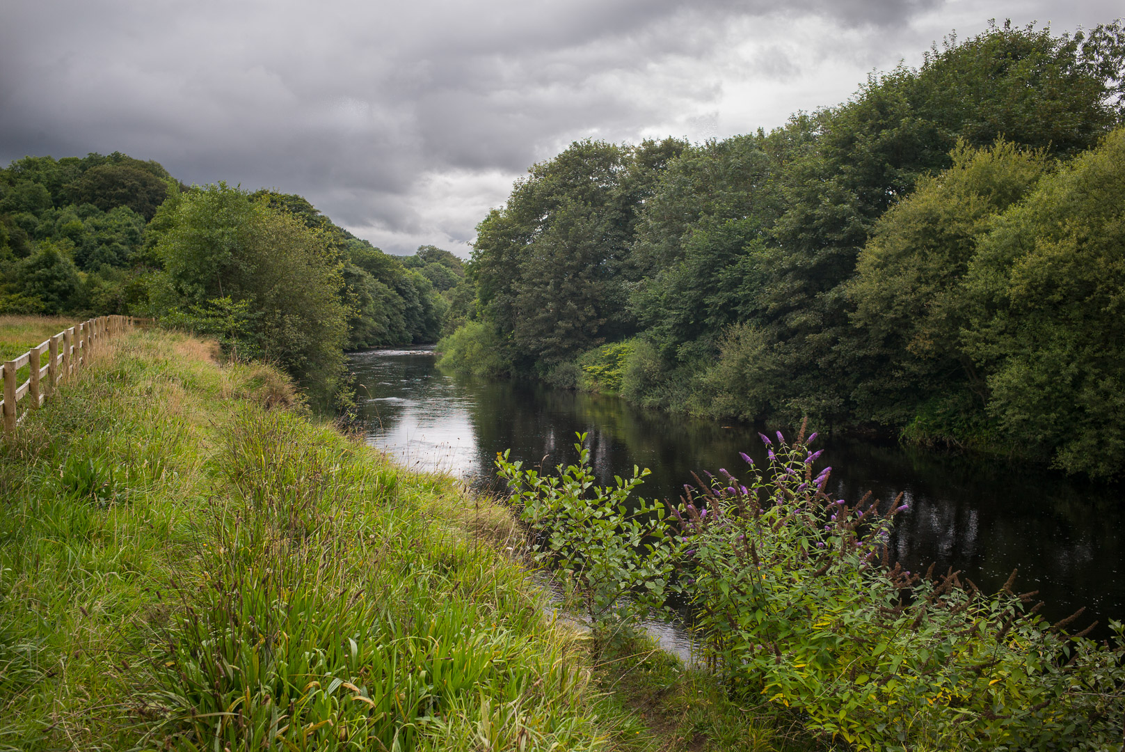
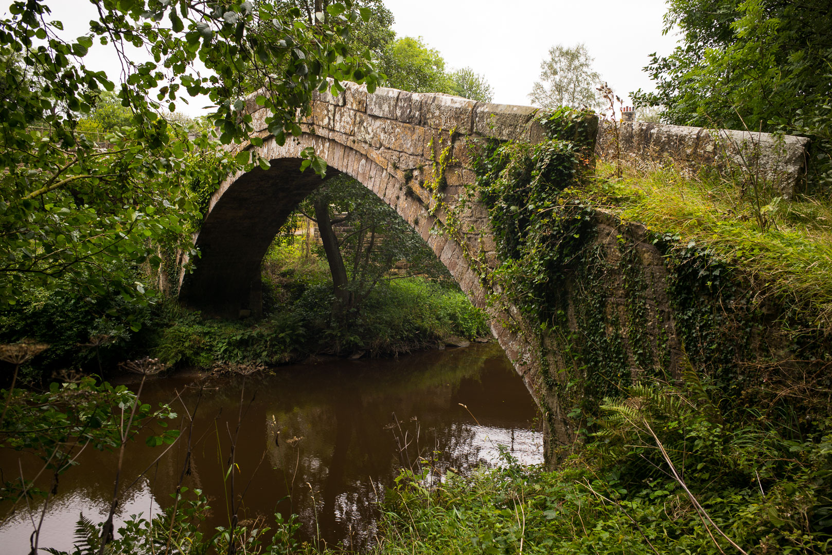
Back on the pathway, we will walk alongside the Swale River for much of the walk to Reeth. So, we get bridges!
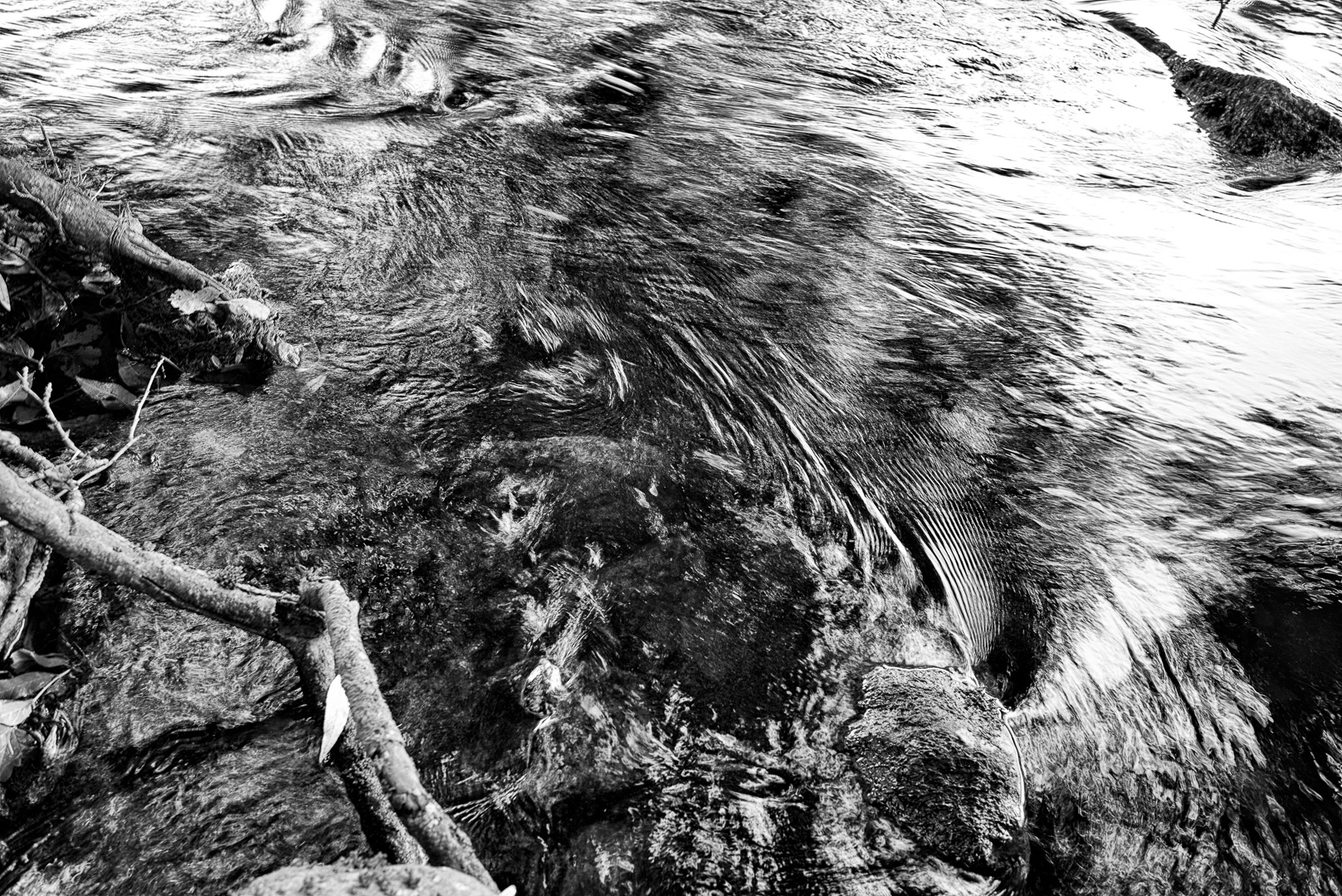
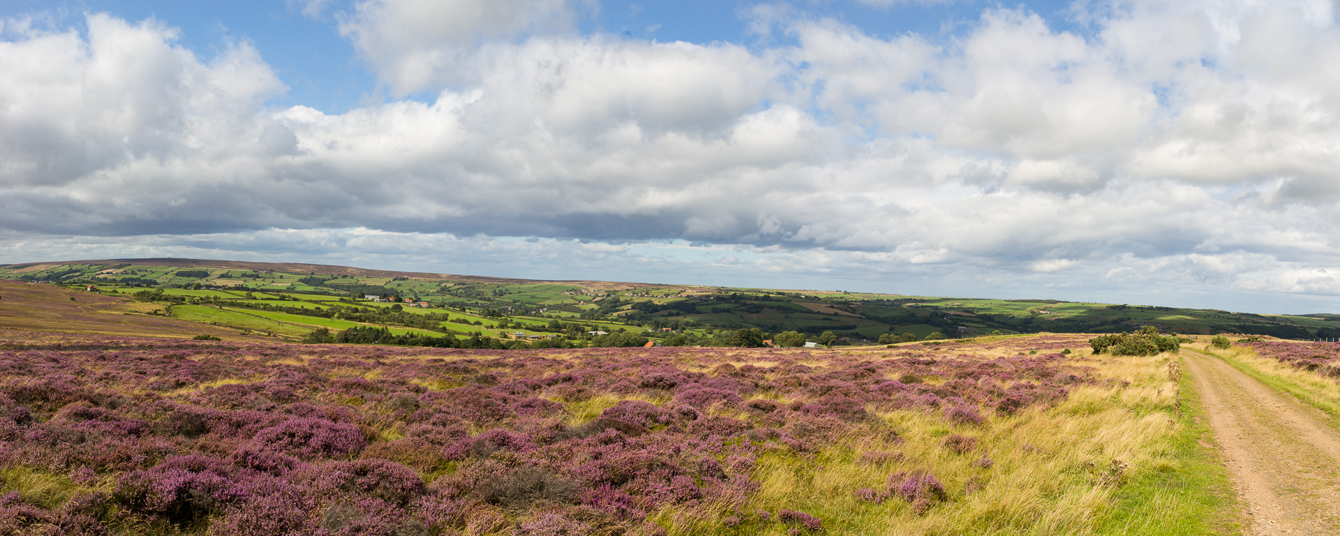
A lovely view created from the fitful sunlight that will characterise the rest of the afternoon (along with intermittent showers). Still, on the rare moment when light, camera and photographer are in sync, a scene of extraordinary light and view presents itself to be recorded.
On my own again and its pretty straight forward walking, through many stiles and well marked paths. I must admit to a certain sense of ease at first; its hard to walk on your own through places that are somewhat remote and in country that you aren’t familiar with, and only a rough idea of what lies ahead. Its not like I’m in the truly remote countryside of the Yorkshire Dales, that’s at least a km over the ridge! As I look around though, I realise I’m basically walking through farmland at this time.
The path leaves the river for about 3 kms and you need to walk on the road. There is a “false path” – ie, it stops half way with a locked gate – that cuts through farmland. Crap! Your only way to negotiate this section is along the road, which is busy enough, and the cars are driving fast enough, and there is nowhere along the side of the road to walk. A nice chat to the farmers along this part of the route to open up the path to cut this section of road out would be most welcome.
I’d also seen a spike in the path just a mile or so back from this section: my foot kicked it! So I hammered it in the ground, as I wasn’t able to get it out (it was barbed), and put rocks on top of it, so someone else wouldn’t bloody well trip on it. I have to say with spikes and locked gates, it seems like the community of Swaledale isn’t too keen on walkers. Pity really, its otherwise a lovely area to walk through.
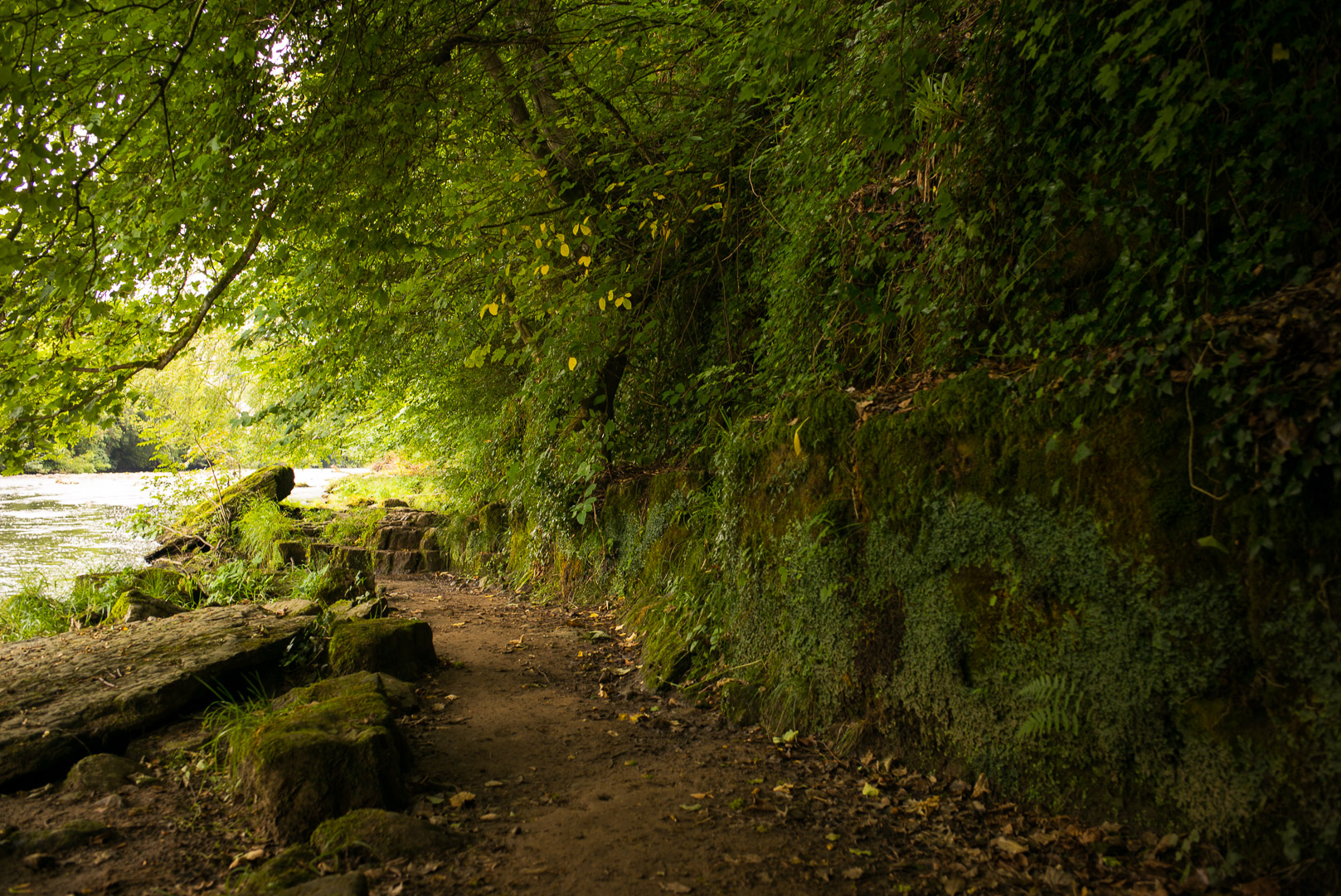
Back alongside the river, the walk into town is long, but really quite pleasant with the rain now holding off and the temperature comfortably cool.
Day 8 – Reeth to Richmond
Walk – 18km (with river deviation)
The walk starts with a wander by the Arkle Beck, a tributary of the Swale River. Beck is a word used for stream/river, as crag is for mountain and tarn for pond/lake in the mountains. Soon enough though we are crossing back into farmland, over hill and dale, walking through sheep pastures, and one with “Bull in Field” marked on the gate; a brisk stroll through that particular one!
As you leave Reeth, you leave the Yorkshire Dales behind you, at least the classic dales of the long sweeping and barren hills, the walk here is in more wooded terrain, particularly as you draw closer to Richmond.
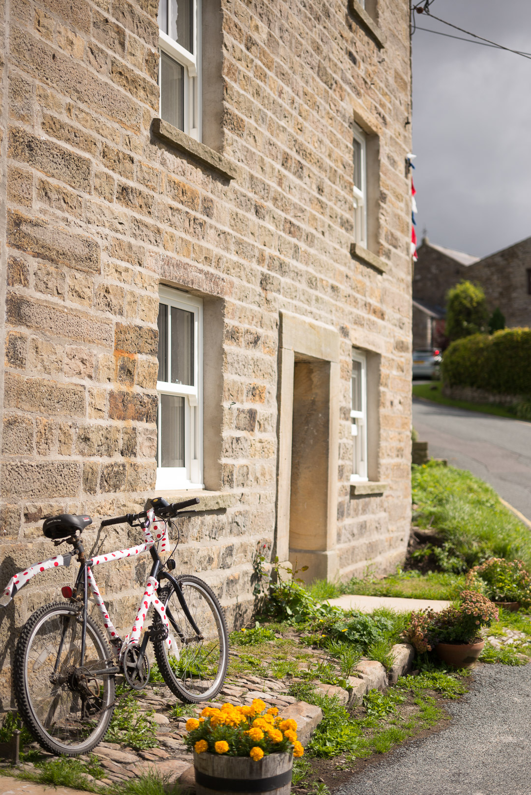
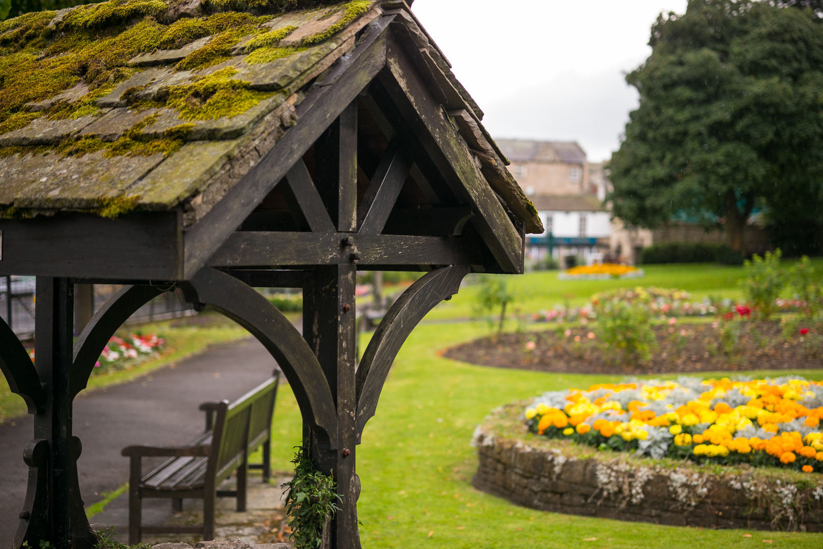
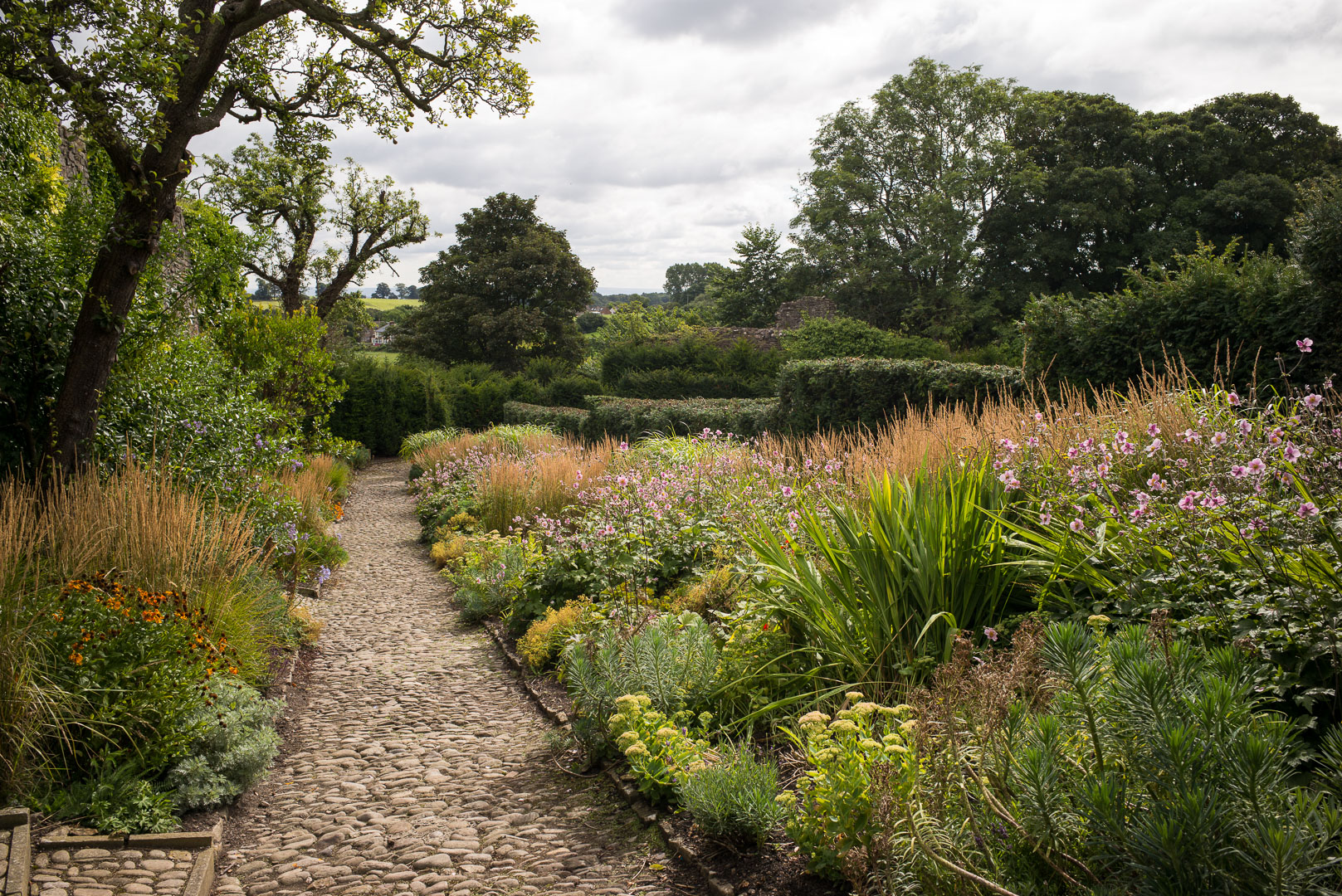
Amidst a midday shower, a lovely garden presents itself alongside of the main road of the hamlet of Marrick.
The path goes across fields and ends up climbing a hill to skirt the Applegarth Scar. The view back over the fields is quite startling, particularly with the light playing through the clouds. The river wends its way through these steeper hills, having carved its path over millennium.
Just past here the path remains high, going through woodland across the ridge, eventually coming into Richmond through the main roads. As I’m walking across some of the farmland that will lead to these woods, a couple in front of me turn around and start walking back towards me. I am alone for most of the day today, and feel pretty comfortable now navigating at least through this kind of terrain.
“Are you guys ok” I ask, all expert walker now.
“Oh, sure, we just missed our turn for the River path”.
River path! Yep, there is a path by the river that will take you all the way into Richmond. I can see it wending its way down the hill to the river, so I’m up for that and away I go.
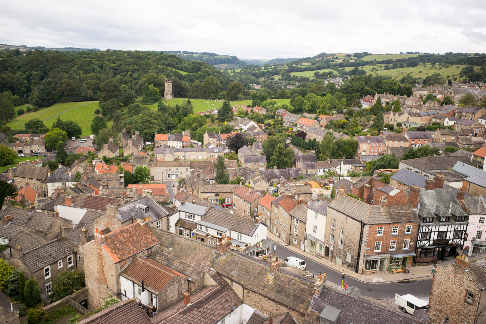
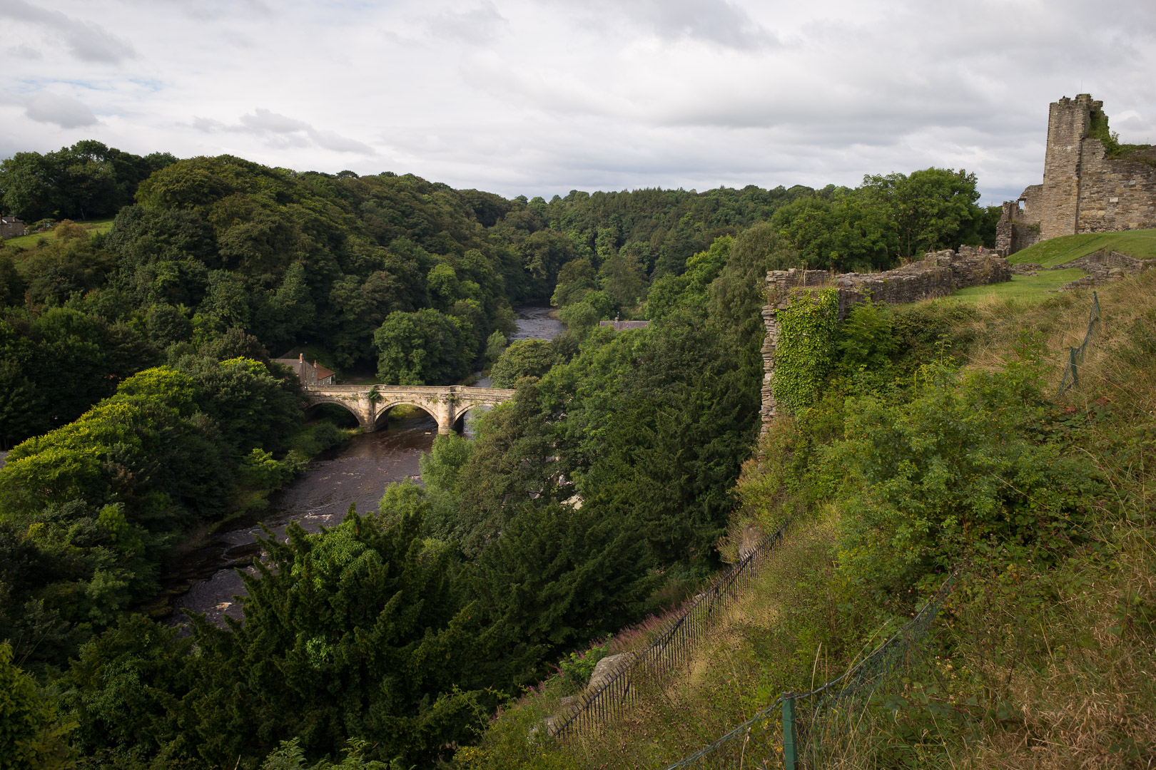
It ended up being a lovely walk in by the river, including arriving at a park that skirts the town itself. It follows the opposite bank of the river all the way into the centre of town, as the town is mostly situated on the one (the north) side of the river, clustering around the castle. You end up coming up through the forrest to the bridge you can see from the castle view in a photo from the next day.
All in all, I would recommend this diversion; you leave the official coast to coast walk at Low Applegarth Farm, the track doubles back a bit from the road leading down to Low Applegarth Farm, heading down the hill to the river. If you reach East Applegate Farm (Richmond Camping Barn), you’ve missed the turn.
Day 9 – Richmond to Ingleby Cross
Walk – Nope!
Distance skipped 36km
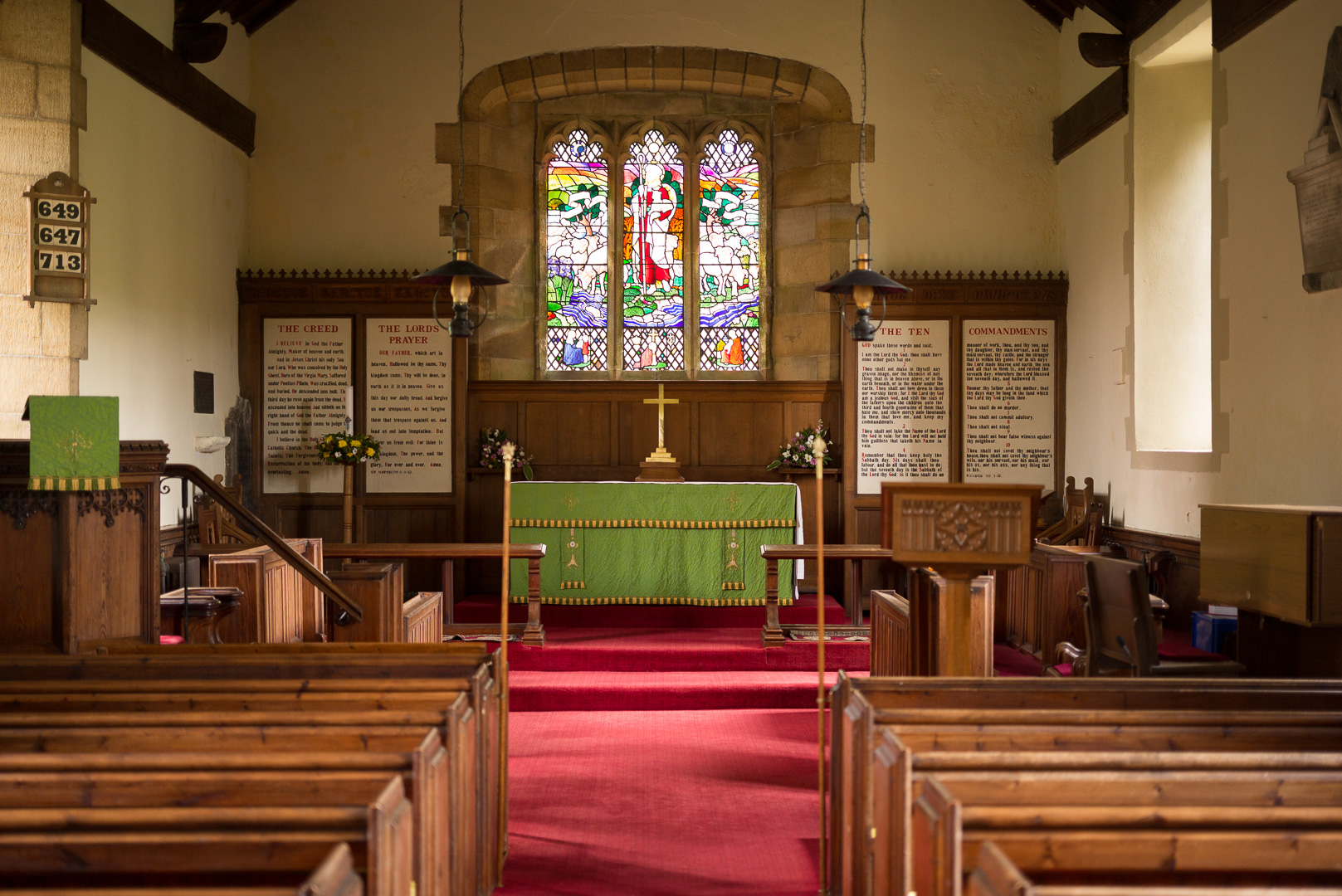
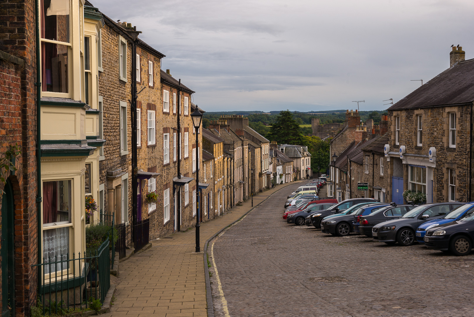
If you are walking this stage, it is long, somewhat tedious and on roads, etc. With all things considered, I’d always planned on skipping this stage and just doing a bus hop. That would also mean I could spend a good part of the day in Richmond, exploring this interesting town. As it turned out, me mate Clarry was staying at the same BnB – really nice place – and so we figured out somethings to do together for the day: explore Richmond in the morning and head to York for the afternoon. So, that was what I did, in the luxury of one of these new-fangled vehicles called “cars” or some such.
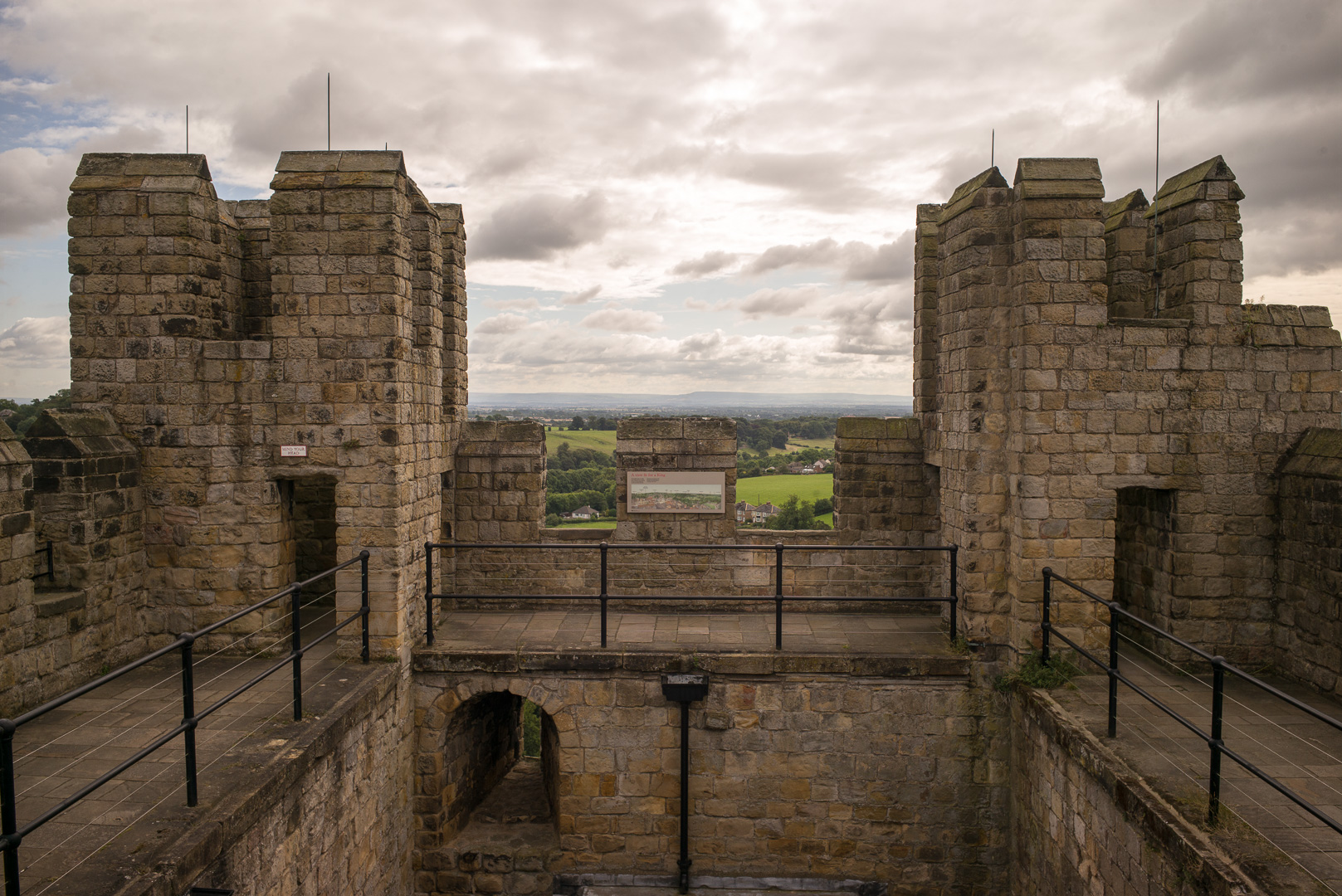
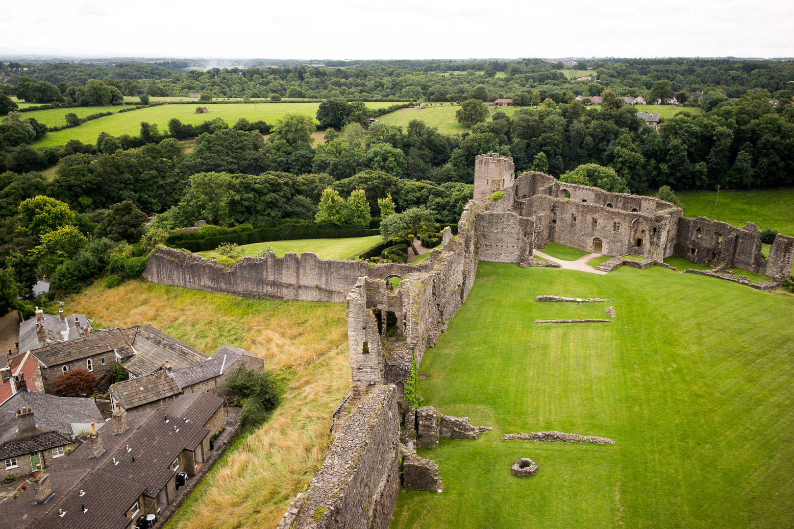
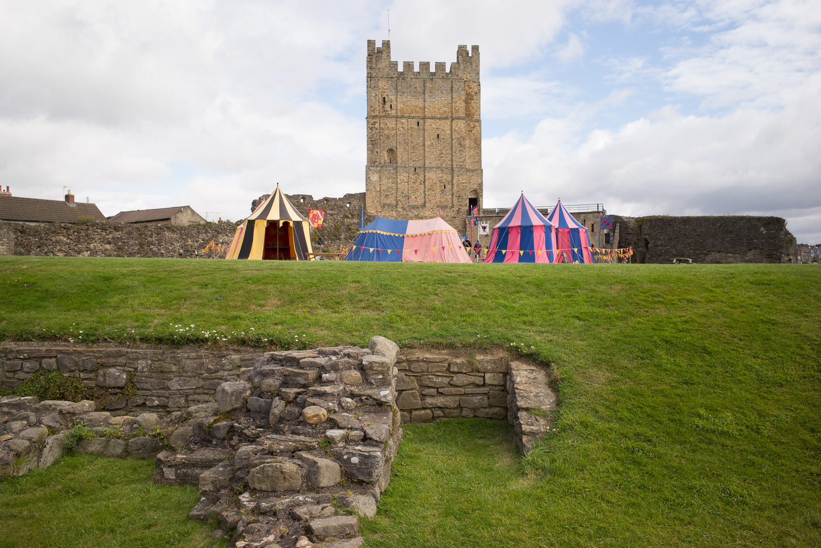
Rather than give you the summary of Richmond, here are a few photos of the Castle, certainly a high point and worth seeing. The town itself is quite charming as well, with an interesting history.
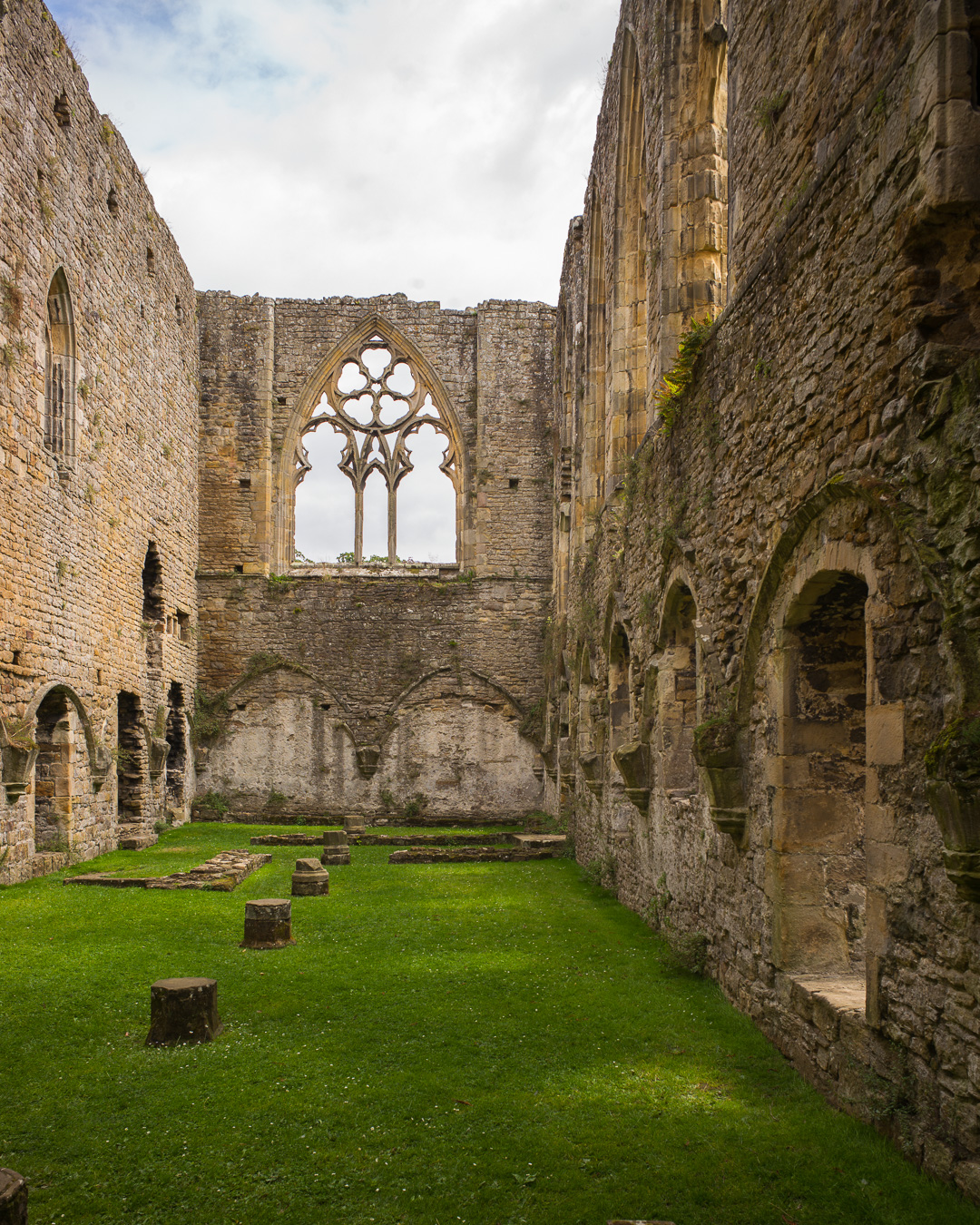
Now, firstly, let me just say up front: Henry VIII was a right royal bastard. After he spat the dummy (which was really about his umm, “under performing” little fellas more than those women he inflicted himself upon), he decided to you know, break with the Catholics and found his own church. Now, a couple of problems present itself. Firstly, he’s running out of money and second, there’s all these Abbeys and other buildings belonging to the Catholics. Solution: either you come over to my new church or I ransack your Abbey, take all its valuables, and pull it down. So, that’s what he did, and so the English countryside is littered with all of these grand ruins that Henry’s lads pulled apart.
Just outside of Richmond is Easby Abbey, while not the grandest or largest of these many victims to Henry’s sociopathy, certainly it can give you some sense of the grandeur and splendour of the buildings his henchmen destroyed.
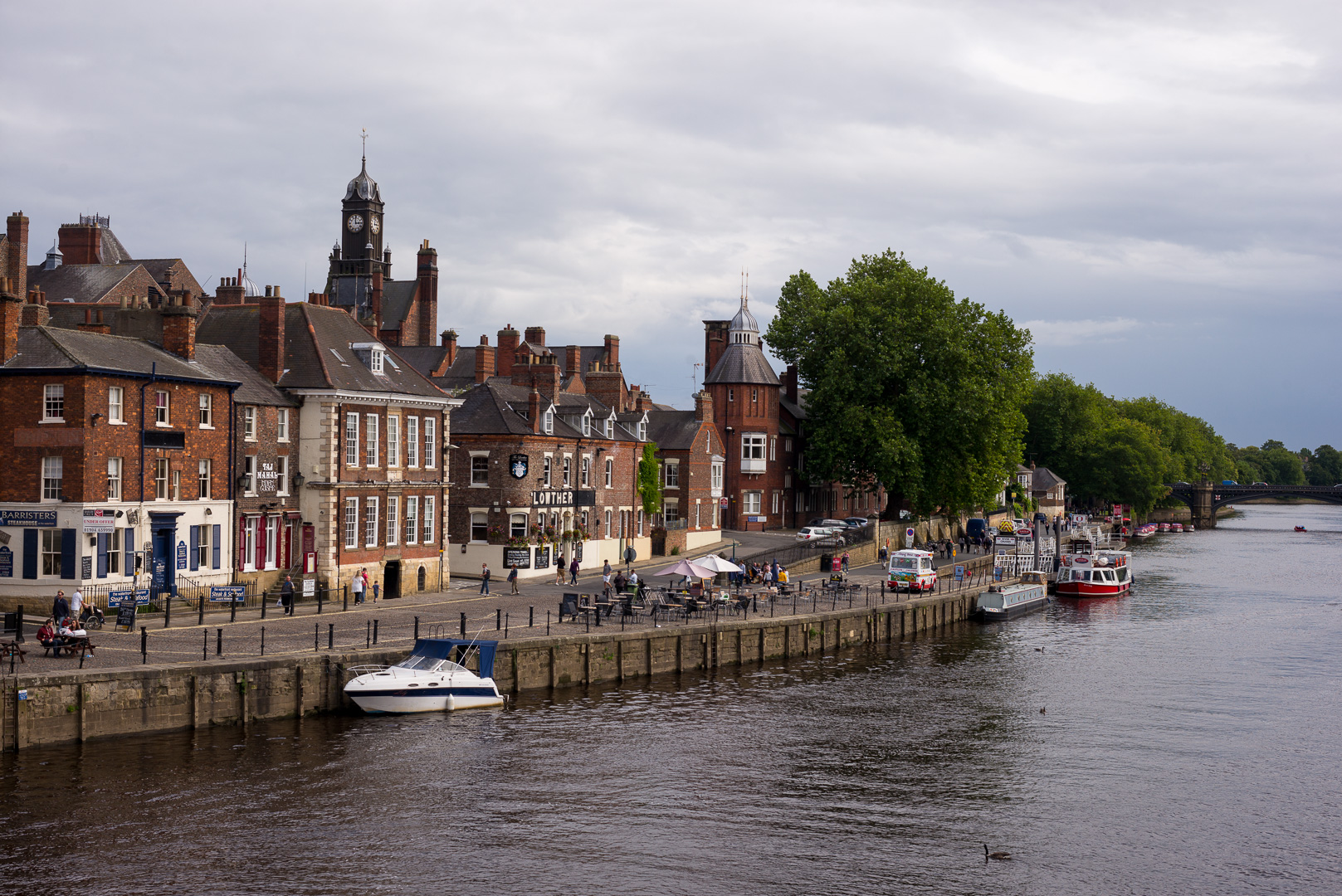
Time to go to York – it was crowded, busy, and of course it rained for some part of it!, but still time for coffee and its always (to my mind at least), a lovely city to visit.

Day 10 – Ingleby Cross to Clay Bank Top
Walk – 20km
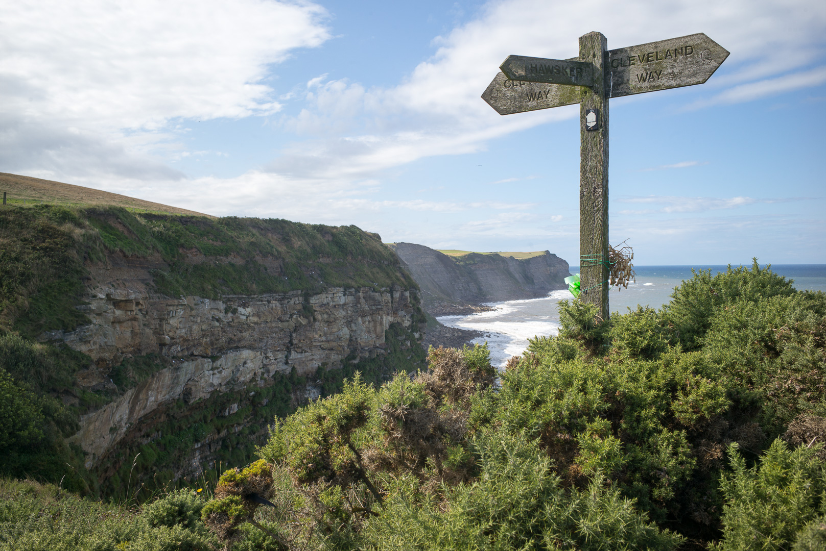
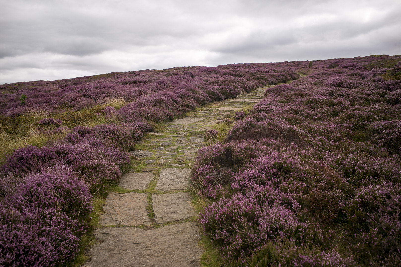
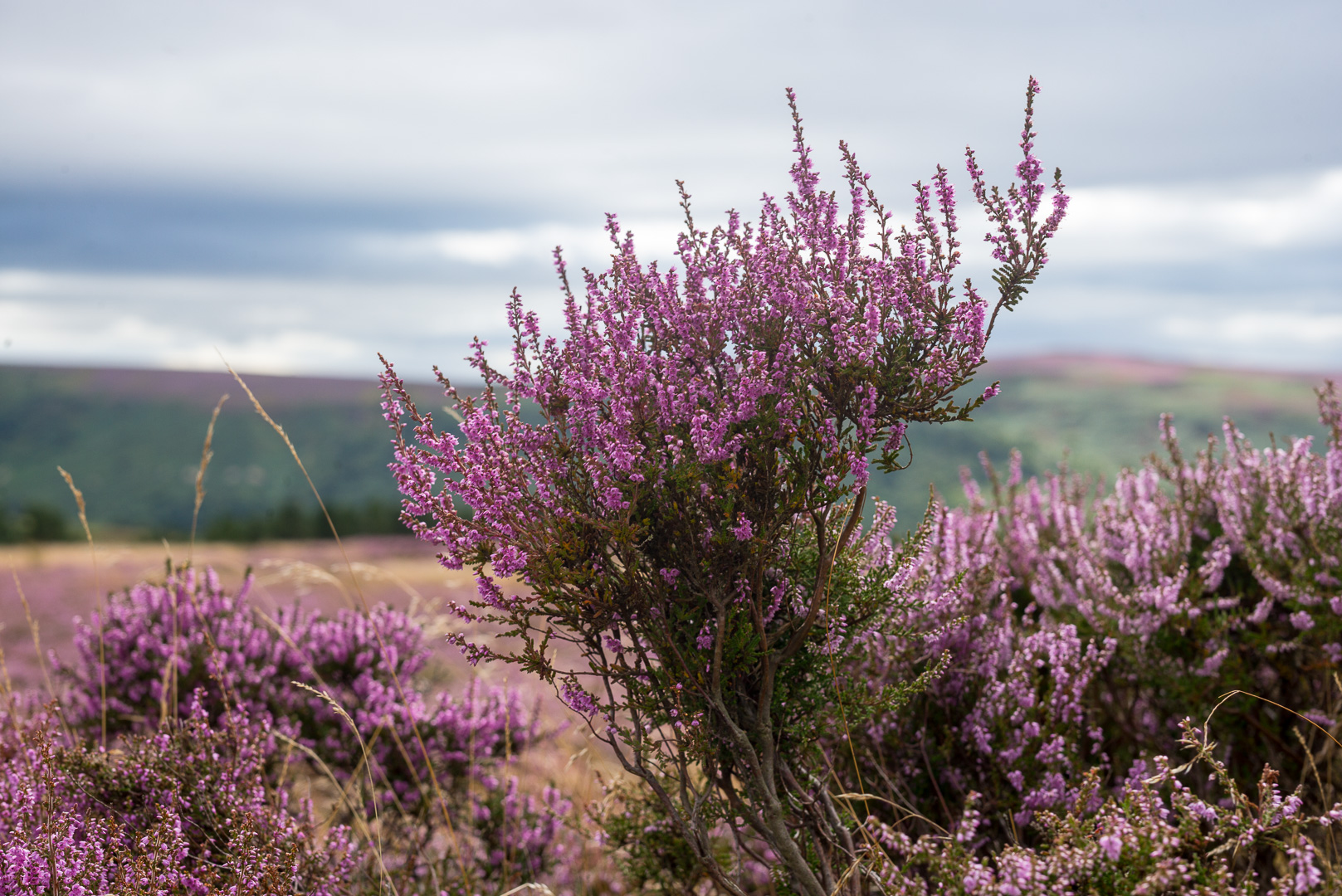
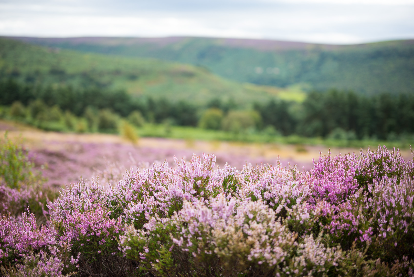
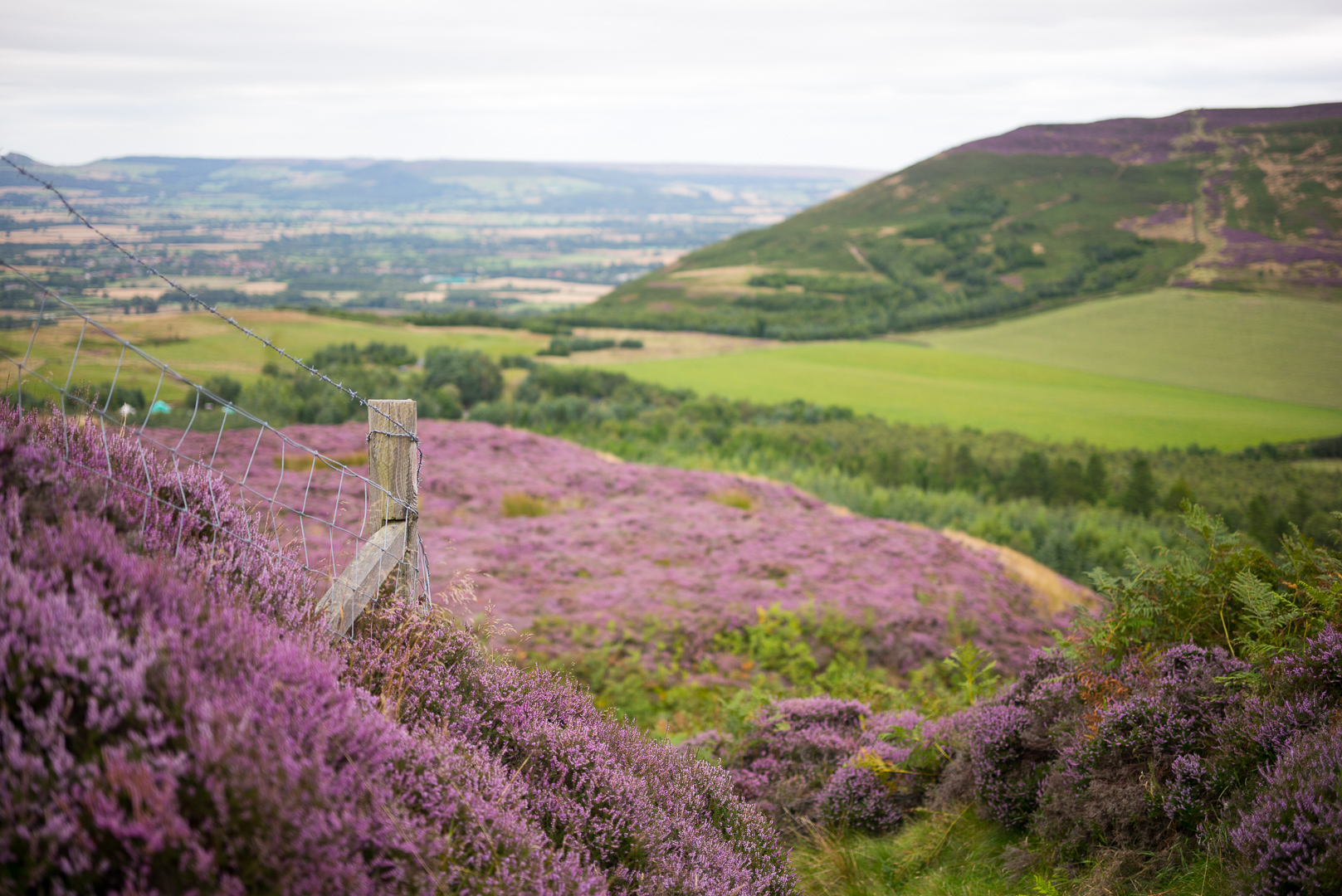
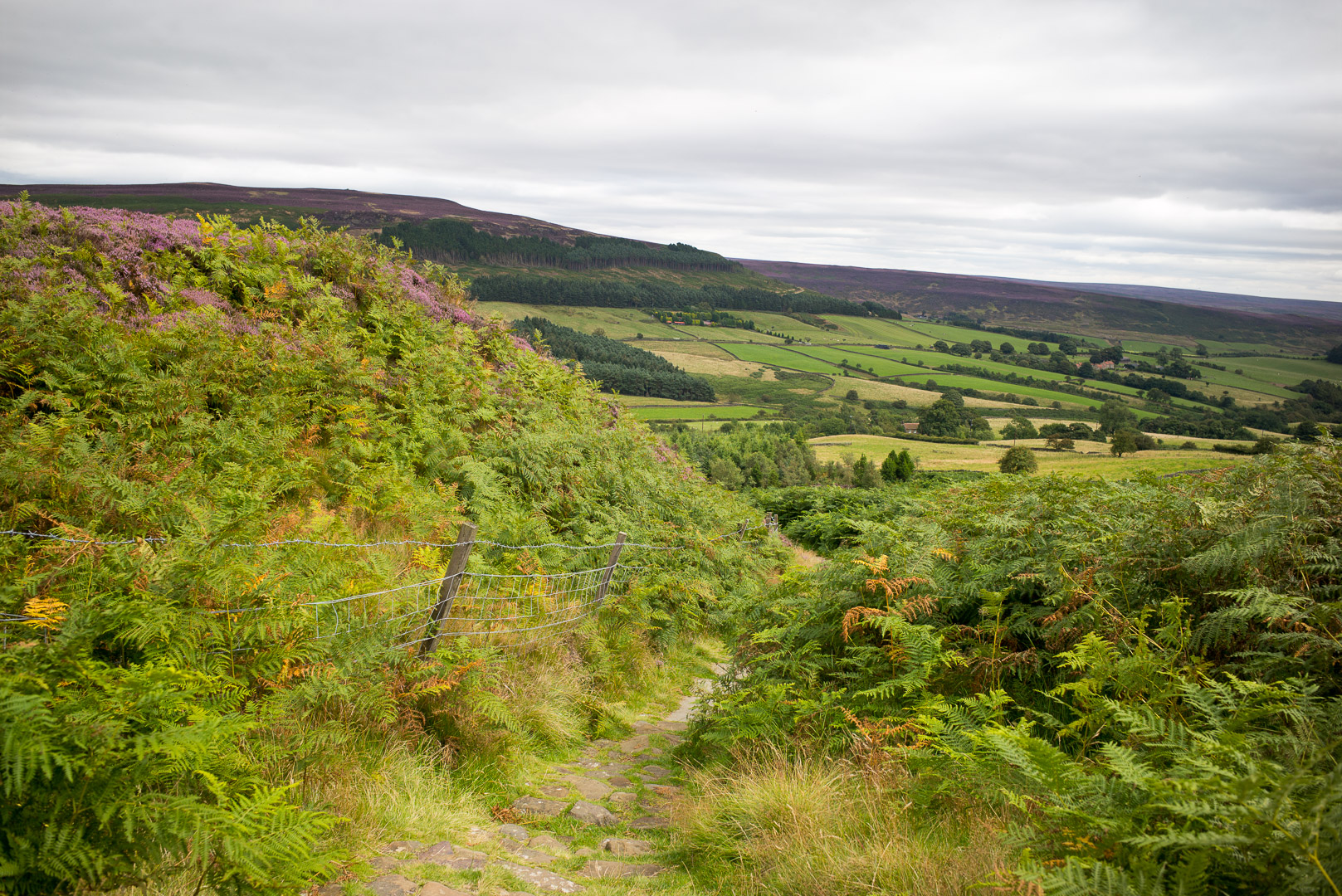
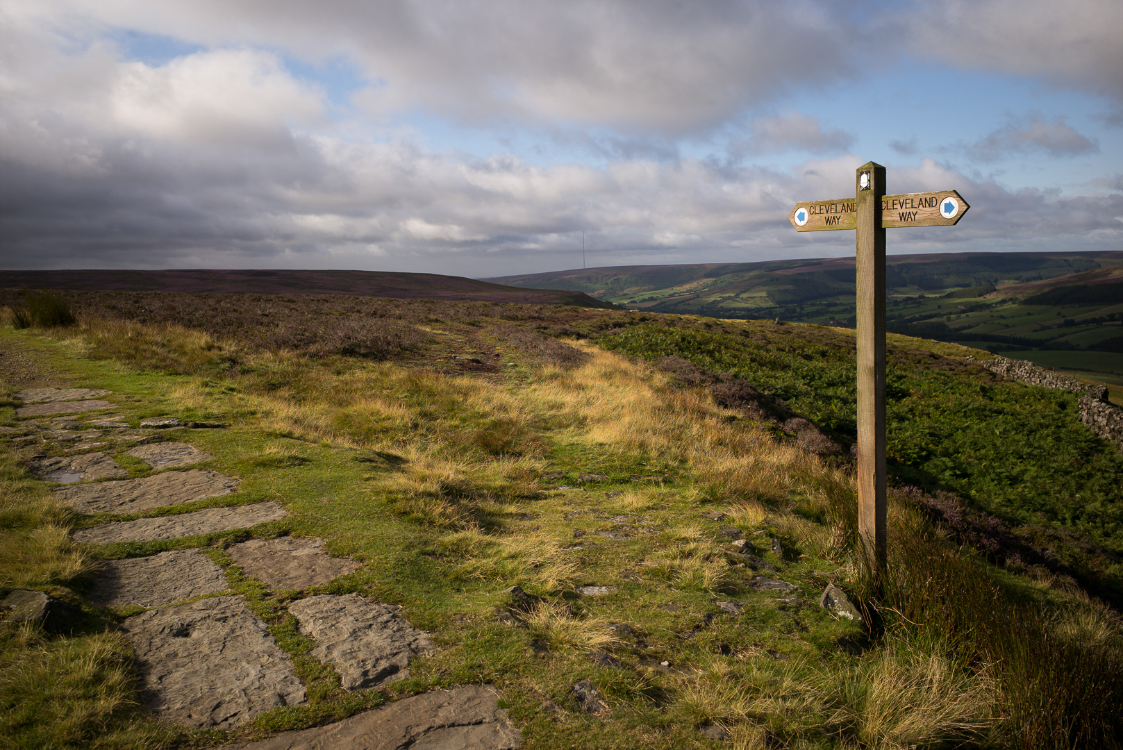
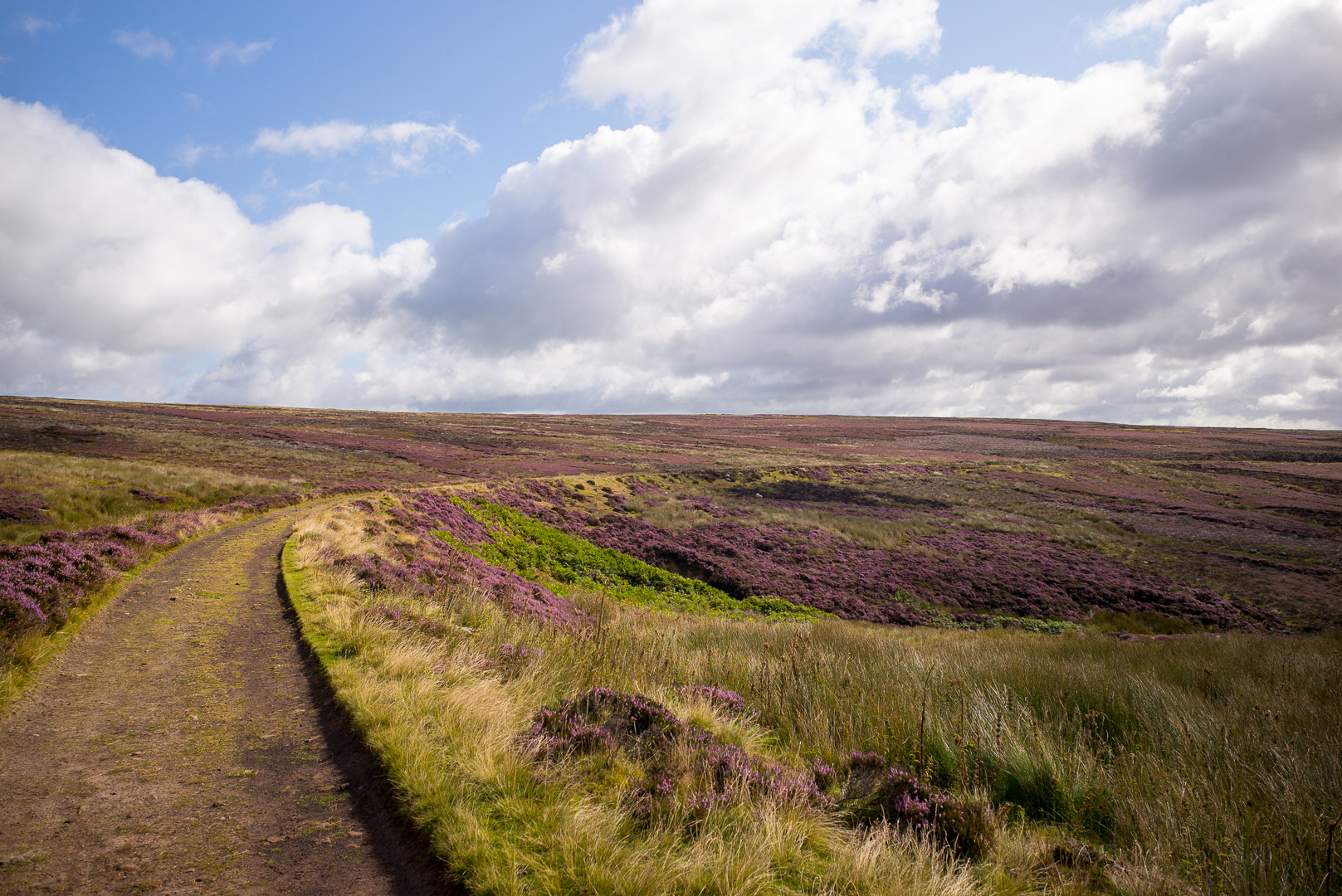
On this day we enter into the last of the three parks, the North York Moors. These are high country moors covered in heather and quite beautiful and wild. Due to the altitude, the weather may also be a factor, so will see.
First, from Ingleby Cross you climb up through forest to the beginning of the moors. The path is pretty straight forward, so navigation is not such an issue today. The moors are largely private land, and as we get into the moors proper, the path turns into a stone laid path, really quite a luxury!
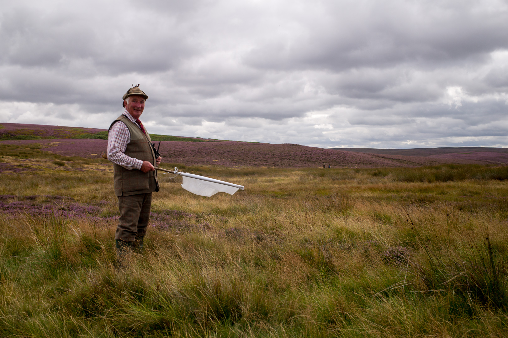
It was the start of the Grouse hunting season a few days ago (while walking to Keld), and every day you hear the distant volleys of shotguns going off. Today, a shooting party is actually within sight of the path, and there are a couple of “old boys” to make sure the walkers (and bicyclists on this particular part of the path) don’t stray off into the line of fire. Suitably attired in tweeds of course!
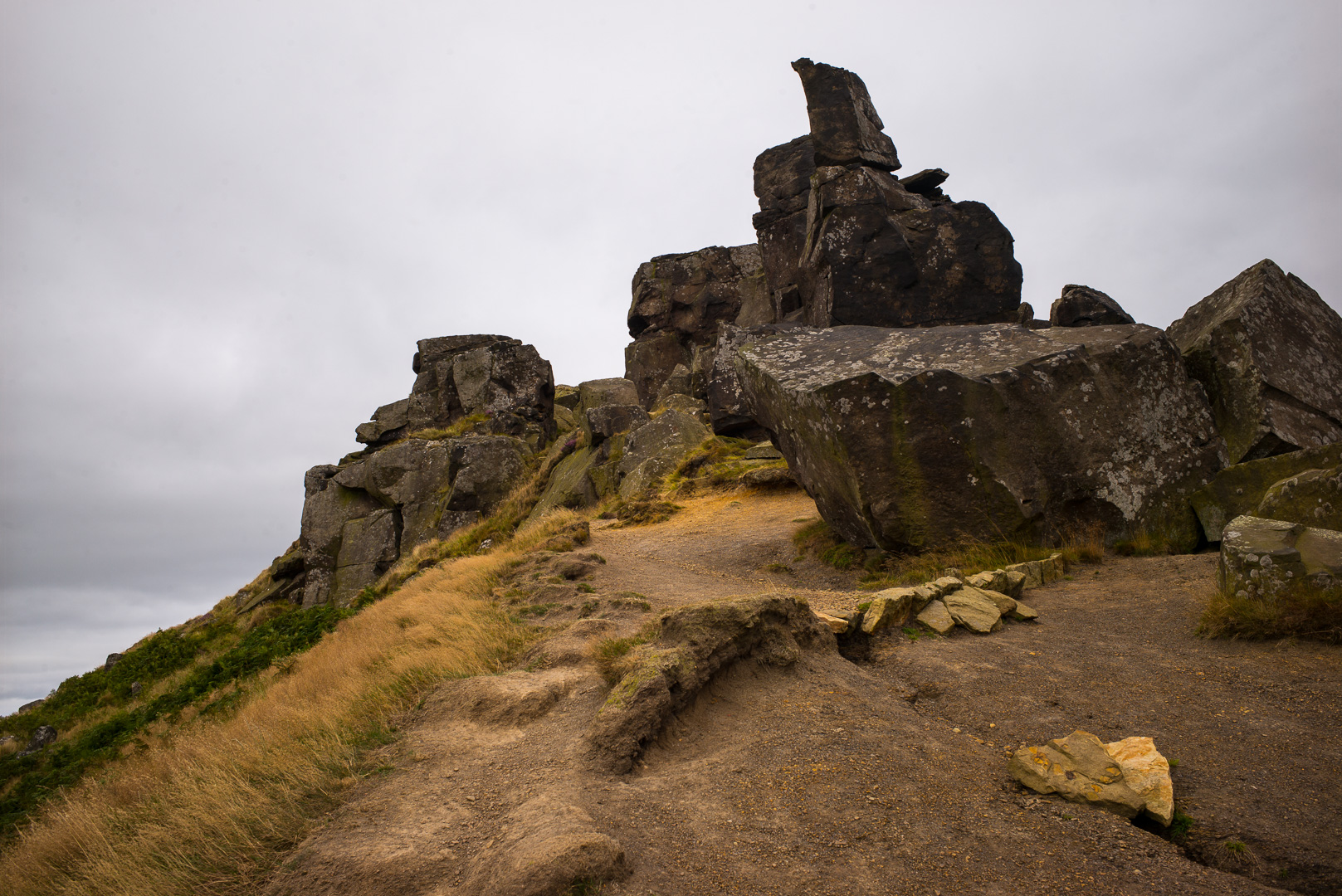
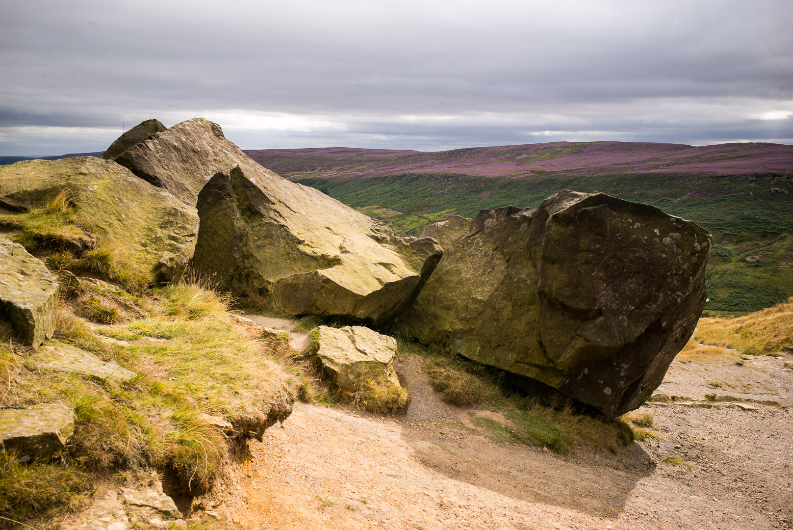
The views of the heather, vast stretches of purple flowers fading into the distance, and the sudden fall off of the plateau of the moors back to the farmland below is a stunning sight. The wind howls, it rains sporadically (not often) and the sunlight fitfully breaks through from time to time. In short, a pretty normal summer’s day in the North!
The walk finishes at Clay Bank Top, but the accommodation is a few k’s down to Great Broughton. For the last third of the walk, I’ve been walking with a father/son pair of lovely chaps from Holland, and we are all staying in the same hotel, so we call up together and they come and pick us up. It is quite a relief that we don’t have the 3kms or so walk to do to the town, just to have to redo the path again the next morning, back to where the walk continues.
Day 11 – Clay Bank Top to Glaisdale
Walk – 29km
Two days remain! but both are long days of walking. After the climb up from Clay Bank Top’s pass, we have a pretty level walk for quite a while, and then a slow descent to Glaisdale. The weather is again windy, but the rain is largely threatening (it does briefly rain), and the sun is again fitful as the clouds roll across the sky.
I’m really feeling fit now after all the walking and the day off has helped to resuscitate me legs! So, this walk is done at a very fast clip as the path is clear and quite well cared for. I’ve taken to not eating lunch while doing the walk, I’d rather get through it, just have a snack, eat “high energy” foods. Its easier to walk, rather than having a bigger meal, then feeling like you want to have a nap!, and its harder to get going once you get settled down.
So, even stopping to take quite a few photos, I’m in Glaisdale by 3.30pm, having begun at 8.50pm, so an average speed of about 4 1/2 kph. By the time I reach Glaisdale, I’m still fired up and could easily have walked further. Still, its nice to have some part of the day available.
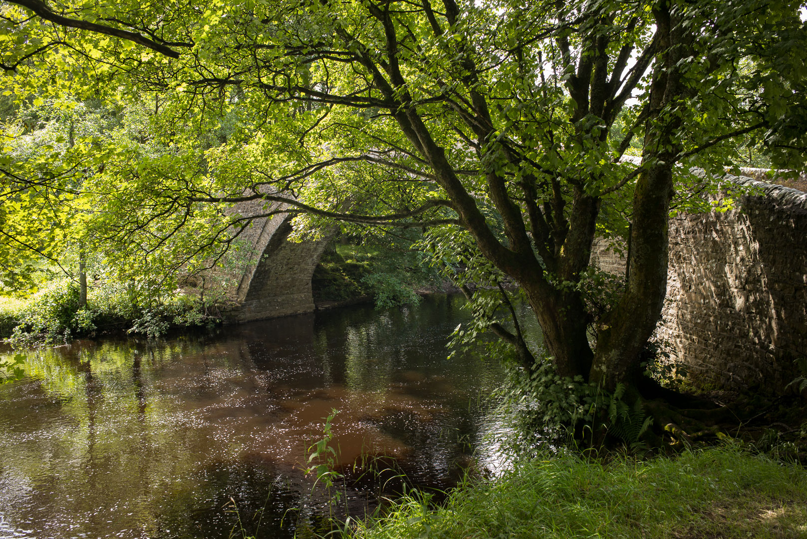
The story of Beggar’s Bridge is quite touching, and of course it all has to do with love. A you fella falls for a young woman, but she is out of his league, for he is just a poor chap, and she from a well-to-do family. So, he vows to go and seek his fortune and on the night before he departs to go to sea (as all good lads will do) he goes to bid his sweetheart farewell. However the weather has turned, and he’s unable to cross the river: the night is stormy, the water high. He departs the next morning, forlorn, and goes to seek his fortune. Its not said what he actually did to make his fortune, but lets say the area is well known for its smugglers, so that’s my guess. In any case, sometime later, he returns to the village a wealthy man, and claims the love of his life as his wife. As a memorial for his success, and the consummation of their love, he builds this bridge so other young lovers should never have to endure the pain of a departure without a farewell. Given his poor beginnings, the bridge becomes known as the “Beggar’s Bridge”.
Day 12 – Glaisdale to Robin Hood’s Bay
Walk – 32km
Last day, but its even further than the preceding day, and without the nice gentle inclines and straight forward tracks to speed your way. Its an odd way to break up the walk actually (and not in the original itinerary). I quite like the break at Clay Bank Top (I think it would be too long to continue further as the original itinerary does), but from CBT, I think its quite a straight-forward walk with an easy path and gentle incline, that it would be better to end that day in Grosmont (an extra 8 kms) or perhaps the village before it, so that the last day is not quite as long.
In any case, here we are; the last day is quite a gruelling walk and will end up covering just about every terrain we have been through since day 1:
- a steep climb
- forest and water courses
- bare, wind-swept, lands
- boggy land
- and finally, coastal cliffs
So, an early start, much delayed because it is raining (of course) and breakfast was far too comfortable and warm to abandon too hastily!
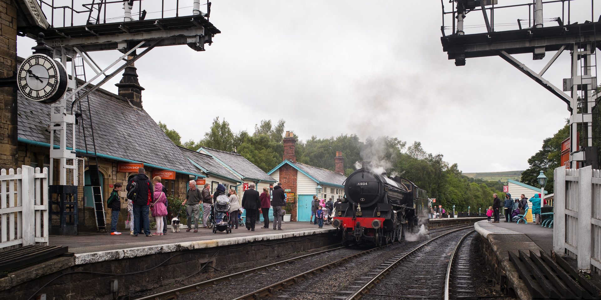
The first part of the walk spends a few kms going through a “typical” English countryside, farmland ringed by forest with small villages with large Oak trees, hilly terrain, and finally a steam train to top it off. Time for morning tea and to listen to the chugging, the huffing and puffing of the steam engine, a sound of such fantastic and unique characteristics.
Then, a very steep climb, well, there has to be one more I guess, and the rain is sporadic, at least not heavy and the water lends an unique shine to the land.
Then a walk that is almost reminiscent of the dales, a forlorn windswept height, but we are now in quite populated country, and before long the path will cross quite a busy road and head out across some rather uninspiring country to get to a lovely section of the walk through Little Beck Wood, with its river, accompanying forest and wonderful tea house right in the middle of it all. A good place to stop for another cup of tea and a snack to keep me going.
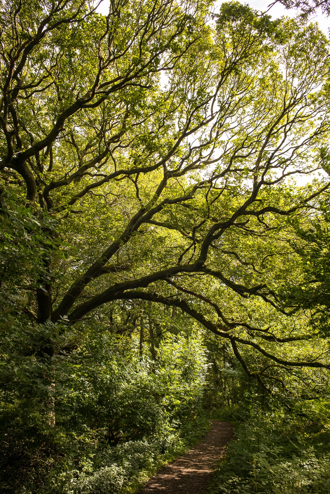
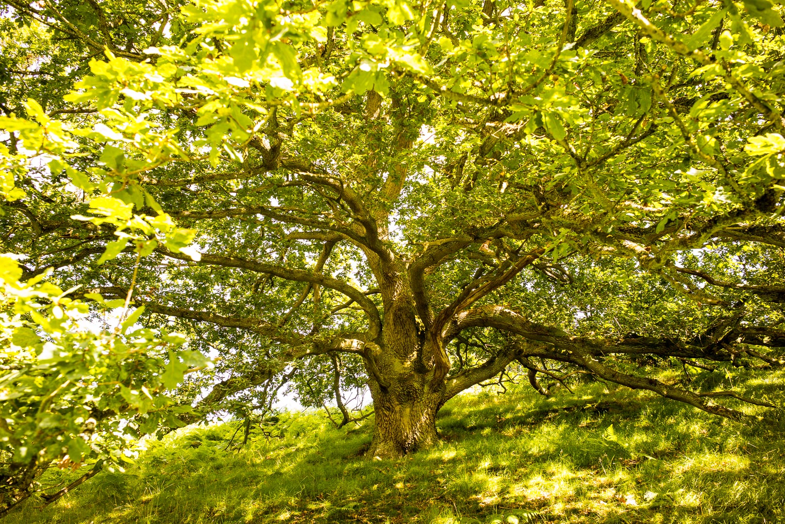
The weather has been clearing since late morning and now the sun is out more and more, even if it is windy to some extent. In a moment of amazing light, this tree seems to just pop out of the ground! A minute later the sun is gone, and the tree, as if shining with its own light, is now just another oak tree in a sparsely forested area. Such is the magic (and frustration) of a fitful English summer’s day!
After the forest, you climb up a straightforward incline to reach water-logged and boggy fields, with another busy road to negotiate, this time to walk alongside it for a few hundred metres. Not a pleasant experience with no path by the road, and the cars driving at least 80kph, really not a good part of the track at all!
Finally, back off the road and onto more boggy ground, at least with a stony path to follow most of the time. The sea is well in sight now, and while I’m busy making sure I don’t miss whatever turn it is I’m meant to find!, my pace has quickened as the idea of standing by the sea is intoxicating.
Through a village, to cross another busy road, but then the path takes you along the road for a good km or so, and this is also a road with fast drivers and no path. The remoteness of the preceding days is well gone by now, even though you are still walking among farmland, its quite annoying that so much of this day’s path is using busy roads. I think this is also somewhat similar to the Richmond/Ingelby Cross route, so this makes me glad to have skipped that part as well. It is no fun dodging cars as you walk, figuring out the safest side of the road to walk on. Finally, leave the road (for the last time!)
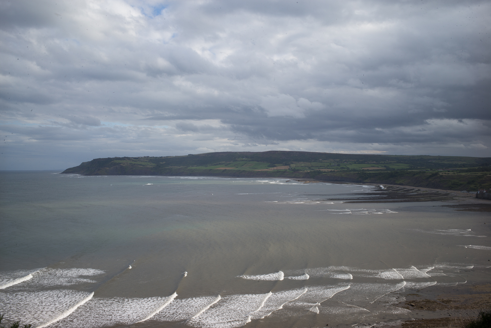
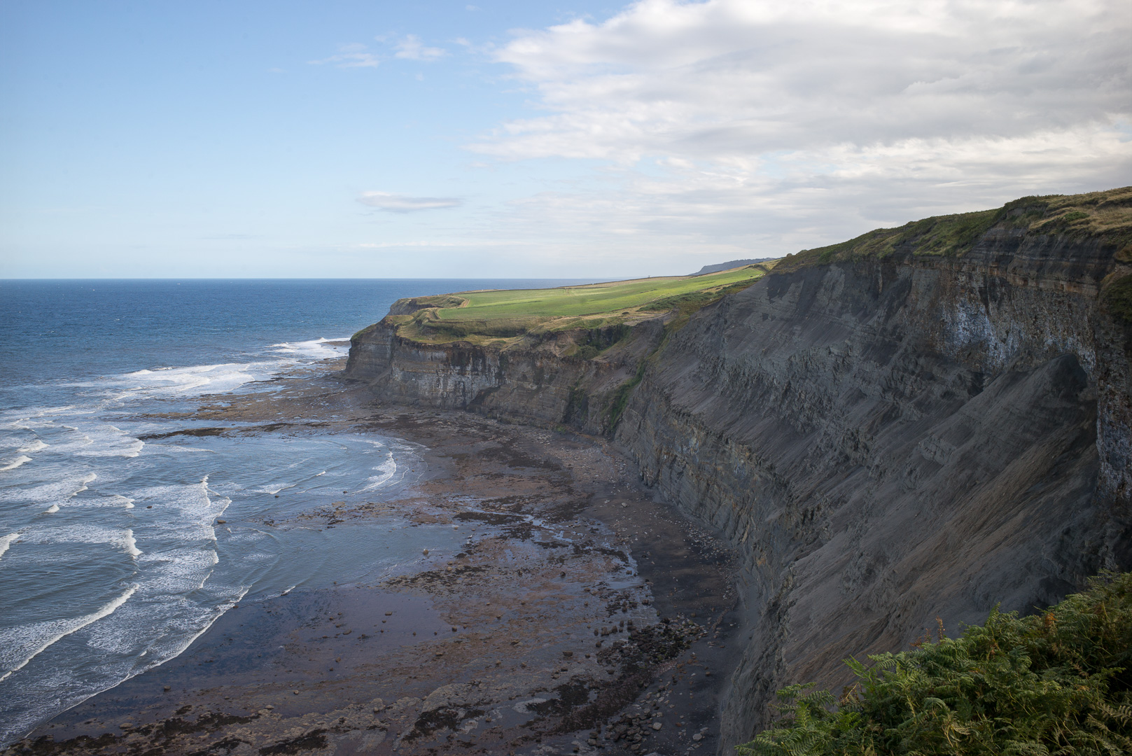
The sea!!! I really can’t communicate the elation I felt as I stood by this sign and the reality of the walk I’d done started to sink in. I had made it, and the sight of the sea stretching out before you was just awesome, literally. I stood and stared out to see for a good few moments, let out a whoop, then, crap, still a few kms to go before these feet can rest! But what is not to like about walking alongside a rugged coastline, with the sky now clear, and a clear path ahead (mostly!).
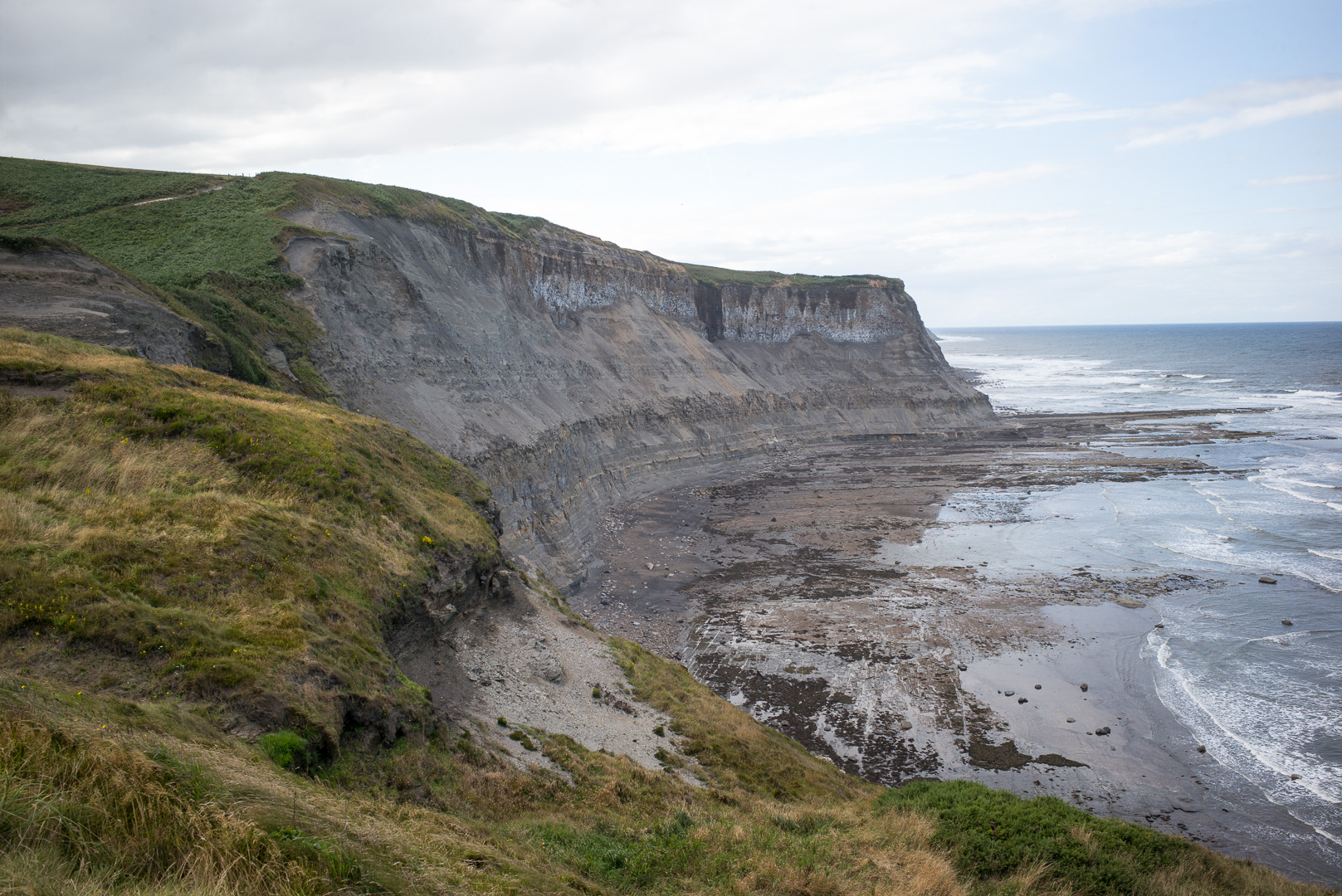
And here we are. Robin Hood’s Bay, noted home of smugglers and other fine and upstanding members of the community! The village plays on this reputation I think, and it lends a lovely character that makes it well worth a visit. The village is picturesque, built in to a small valley that wends its way down to the bay, with large tides exposing acres of sand when low, and a tumultuous sea when high. The size of the sea walls here are quite extravagant, so I imagine the winter storms here are quite violent. Its a fantastic village to finish the walk in really.